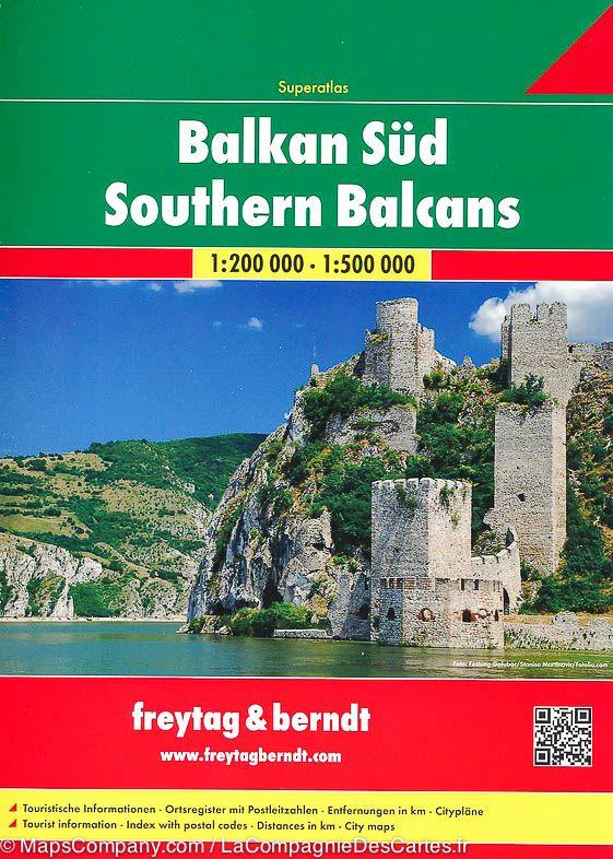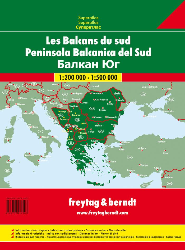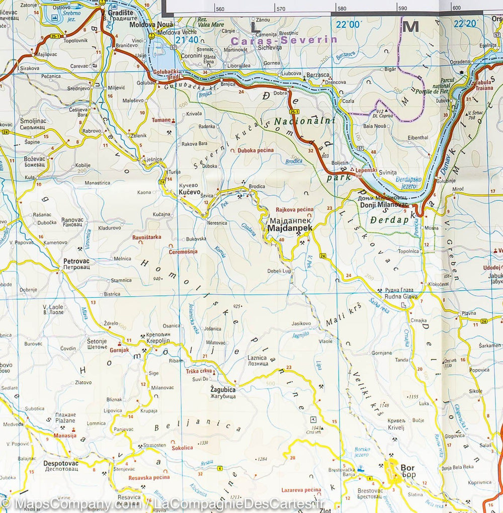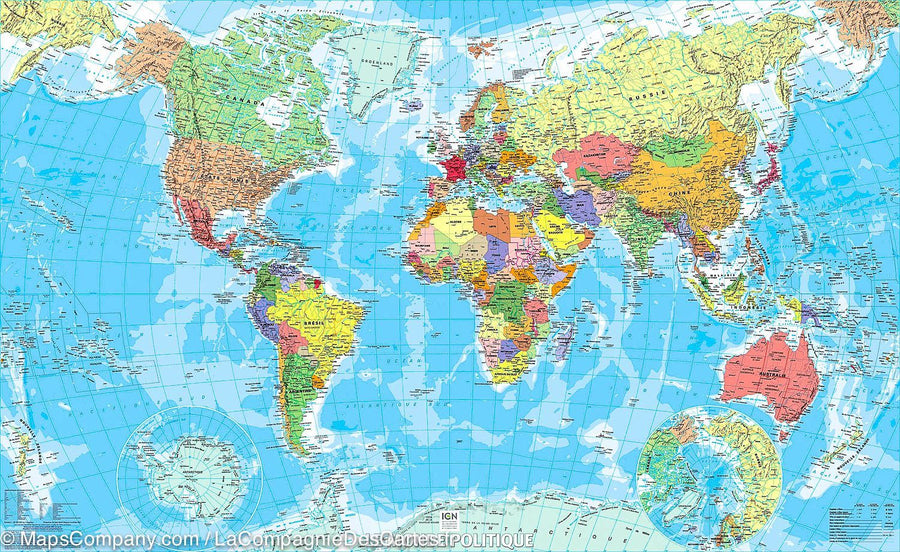


Road Atlas - South Balkans (Greece, Albania, Romania, Macedonia, Serbia, Bosnia) | Freytag & Berndt
Road Atlas - South Balkans (Greece, Albania, Romania, Macedonia, Serbia, Bosnia) | Freytag & Berndt
Regular price
$38.00
- Shipping within 24 working hours from our warehouse in France
- Delivery costs calculated instantly in the basket
- Free returns (*)
- Real-time inventory
- In stock, ready to ship
Related geographic locations and collections: Balkans, Travel atlas