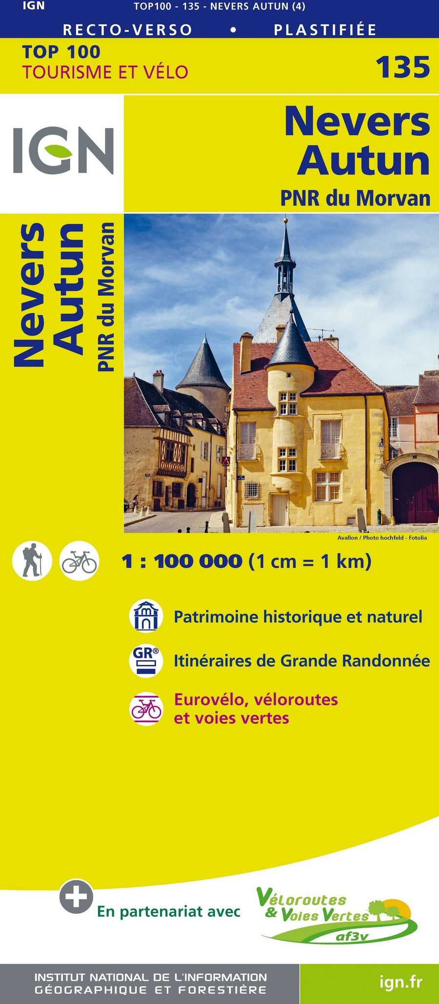


Top 100 Map ° 135 - Nevers, Autun & PNR of Morvan | IGN
Top 100 Map ° 135 - Nevers, Autun & PNR of Morvan | IGN
Regular price
$13.00
- Shipping within 24 working hours from our warehouse in France
- Delivery costs calculated instantly in the basket
- Free returns (*)
- Real-time inventory
- In stock, ready to ship
Related geographic locations and collections: Bourgogne-Franche-Comté, IGN TOP 200 - Touristic maps of France, Loire by bike, Morvan Regional Natural Park, Nevers, Nièvre (department 58), Saône-et-Loire (department 71)