Carte de voyage - Europe de l'ouest : Routes et chemins de fer | ITM carte pliée ITM

Travel Map - Western Europe: Routes and Railways | ITM

Travel Map - Western Europe: Routes and Railways | ITM

Regular price $20.00
/
  • Shipping within 24 working hours from our warehouse in France
  • Delivery costs calculated instantly in the basket
  • Free returns (*)
  • Real-time inventory
  • In stock, ready to ship
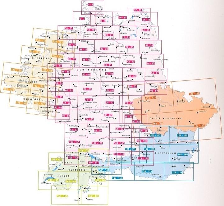
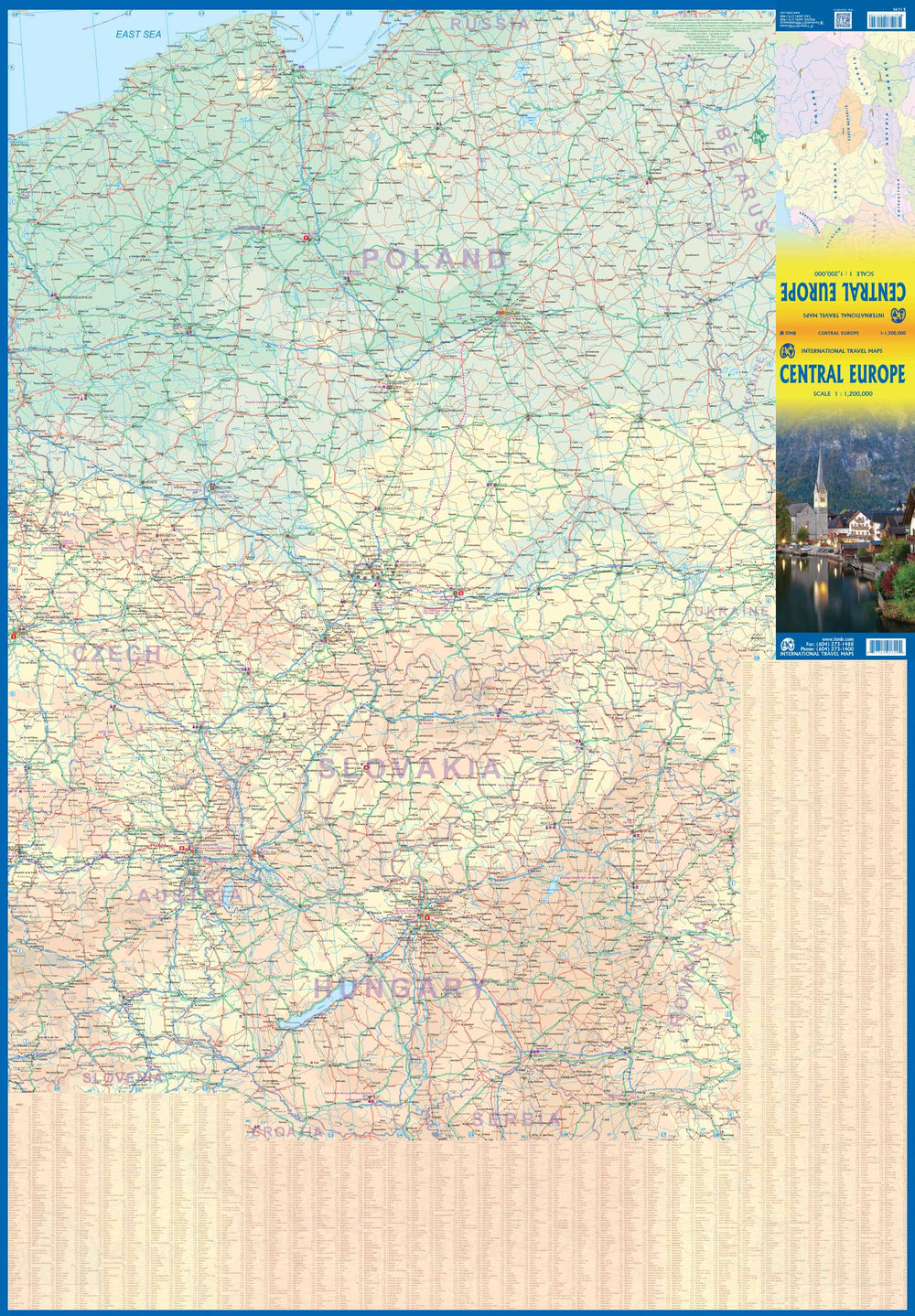
  • Backordered, shipping soon
Tax included.

Detailed map of the roads and railways of West Europe published by ITM. The front cover covers the British islands, the Netherlands, Germany, Denmark, the Czech Republic, most of Poland and southern Scandinavia. the back covers the Iberian Peninsula, France, Italy, Slovenia, Croatia, Bosnia, Austria, Hungary and the southern part of the Germany.

The legend includes:
main motorway, multi-channel highway, high speed railway, sea crossing, border international cities, national park, international airport, port, historical site, monument, world heritage, volcano, etc.


ISBN/EAN : 9781771292603
Publication date: 2018
Scale: 1/2,500,000(1cm=25km)
Printed sides: both sides
Folded dimensions: 24.6 x 10.3 x 0.5cm
Language(s): English
Poids : 54 g

Customer Reviews

Based on 1 review
0%
(0)
100%
(1)
0%
(0)
0%
(0)
0%
(0)
J
Jean-Luc S. (Gigean, FR)

,