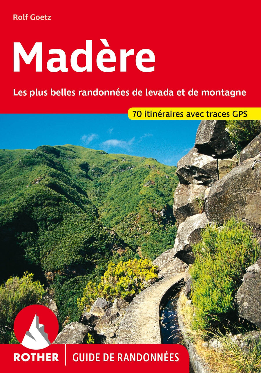
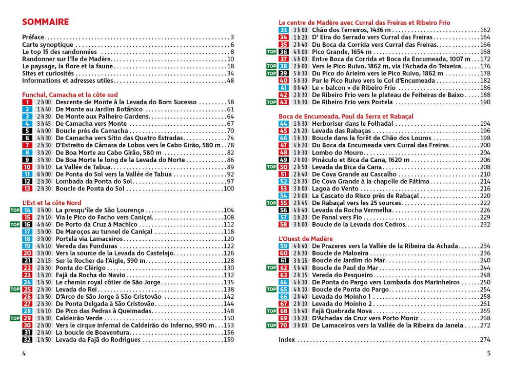
With its 28 circular hikes and all tested by experienced walkers, this guide for the Vale of York and Yorkshire Wolds will help you make the most of your holidays or trips to the day. The itineraries range from 4 km 15.3 km, so there is a route for all levels and the time available.
Most visitors to the region go to the two National Yorkshire parks, but the flat plains of Vale of York and the high wavy trays of the wolds are an excellent alternative, while offering a great diversity of landscapes and opportunities for walking . Of the 28 walks shown are the Flamblorough Head coast, the abandoned medieval village of Wharram Percy and the Pocklington Canal.
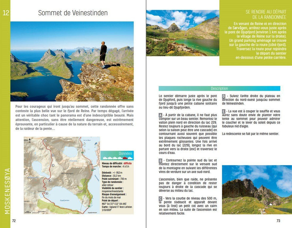
Each hike includes a complete description and an extract from the route map, as well as notes and photos of the main features not to be missed.
ISBN/EAN : 9780319090732
Publication date: 2017
Folded dimensions: 13.7 x 23.8cm
Language(s): English
Poids :
200 g


