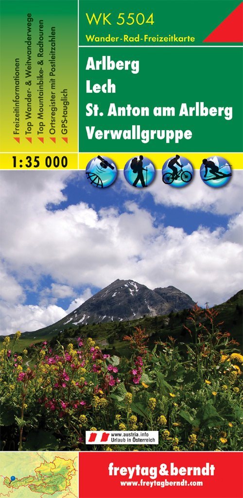


Hiking Map - Arlberg - Lech - St. Anton - Verwall Alps (Austrian Alps) # WK5504 | Freytag & Berndt
Hiking Map - Arlberg - Lech - St. Anton - Verwall Alps (Austrian Alps) # WK5504 | Freytag & Berndt
Regular price
$20.00
- Shipping within 24 working hours from our warehouse in France
- Delivery costs calculated instantly in the basket
- Free returns (*)
- Real-time inventory
Related geographic locations and collections: Austrian Alps