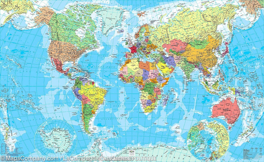
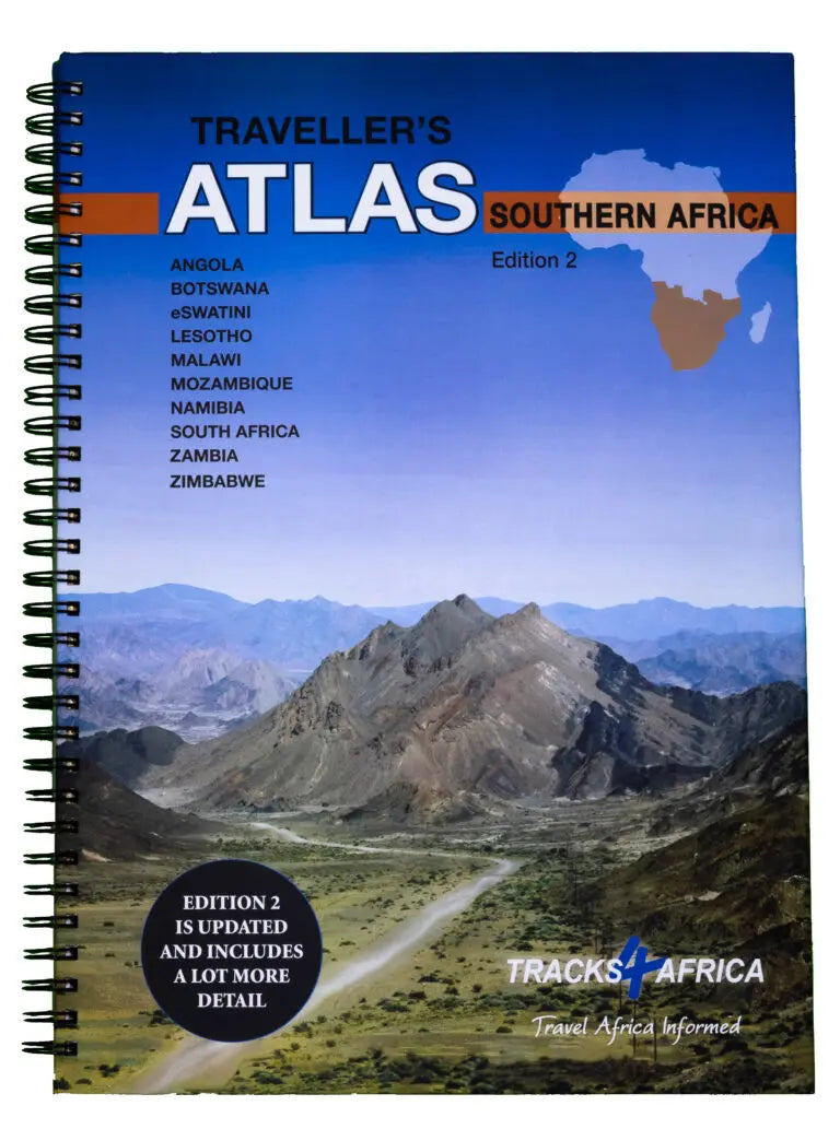
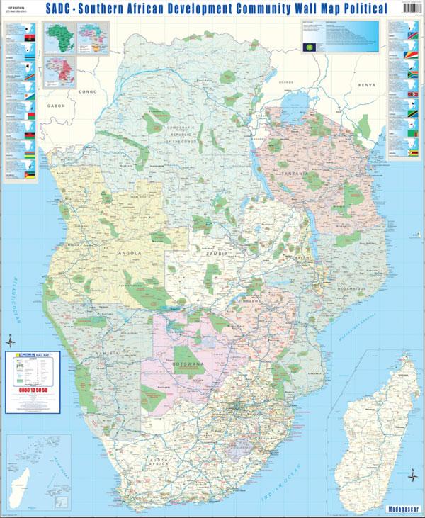
Southern Africa Travel Atlas, Spiral , especially intended for independent travelers. The countries included in this atlas are: Angola, Botswana, Lesotho, Malawi, Mozambique, Namibia, South Africa, Swaziland, Zambia and Zimbabwe.
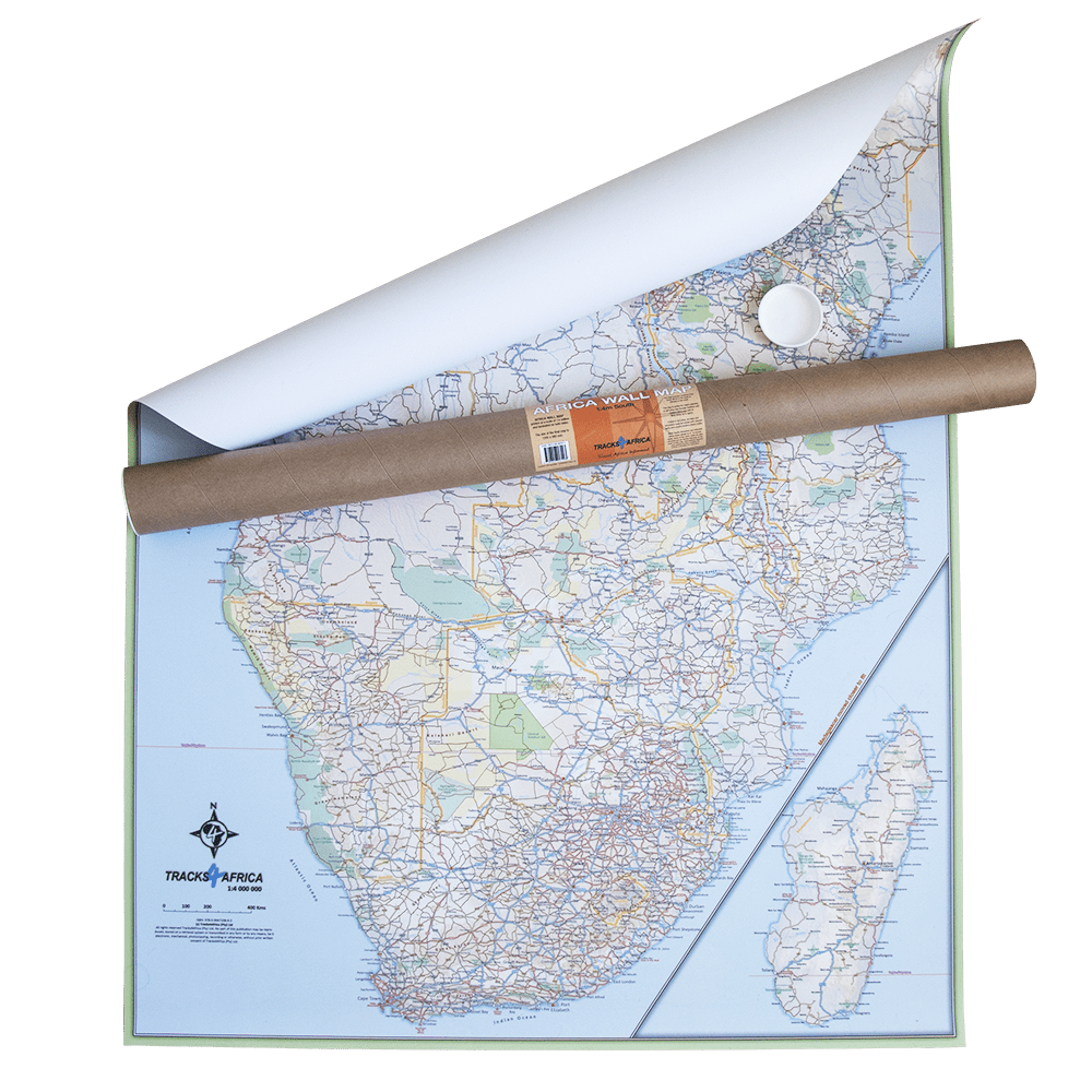
The Atlas has 108 pages of detailed maps of the same quality as the maps of the same Tracks4Africa publisher.
The Atlas is printed in A3 format, weighs 1.3 kg, has a laminated laminatedized cover, and the pages are printed on quality paper.
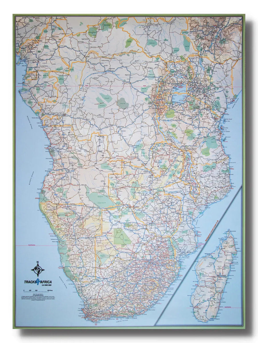
Characteristics of maps:
- All major roads as well as 107 170 km of slopes.
- Distance and travel time between cities.
- Essential facilities available in cities.
- Camping and accommodation.
- 614 tourist attractions.
- All border crossings, with opening hours.
- All international airports, with IATA / ICAO codes.
- 462 protected areas.
The first section of the Atlas includes travel information on each of the ten countries. Information on border crossings and major tourist attractions will help you be well prepared for your trip and parts on driving conditions will help you on the road.
Like populations, road networks and country infrastructure differ, the scales used for maps are different. South Africa, Lesotho and part of Swaziland have a scale at 1: 500,000 (1 cm = 5 km). Swaziland, Mozambique, Malawi, Zimbabwe, Zambia, Botswana and Namibia are on a scale of 1: 1,000,000 (1 cm = 10 km) while most of Angola reaches a ladder from 1: 4,000,000 (1 cm = 40 km).
This atlas specifically targets autonomous travelers. In addition to having reliable maps and being well prepared for border crossings, the autonomous tourist must also know where to sleep, buy fuel, buy food, get help in case of emergency and discover what is to see.
Maps include details such as car repair, bank, fuel, hospital, police, restaurants and shops, as well as camping and accommodation. As protected areas are the culmination of a visit in any of these countries, they are well highlighted on Tracks4Africa maps. The details of 462 protected areas are included in this atlas.