Regional map # 512 - Brittany | Michelin (French)

Price
Regular price $10.00
Regular price $11.00 Sale price $10.00
Save $1
/
  • Shipping within 24 working hours from our warehouse in France
  • Delivery costs calculated instantly in the basket
  • Free returns (*)
  • Real-time inventory
  • In stock, ready to ship
  • Backordered, shipping soon
Tax included.

Often purchased together:

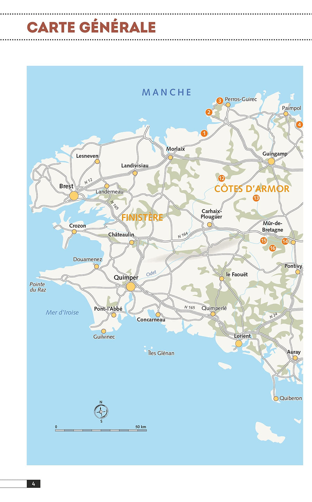
The regional map of Brittany in the 1/200 000 th (1 cm = 2 km) accompanies you in all your trips. Indication of service stations and security alerts (increased vigilance areas) will allow you to ride in peace.

This map brings all the assets of Michelin mapping: annual update, recommended routes, intuitive legend but also city plans.

Cover: Côtes - d'Armor, Finistère, Ille - et - Vilaine, Morbihan.


ISBN/EAN : 9782067262409
Publication date: 2024
Scale: 1/200,000 (1cm=2km)
Printed sides: both sides
Folded dimensions: 25 x 11cm
Language(s): French
Poids : 89 g

Customer Reviews

Based on 4 reviews
75%
(3)
0%
(0)
25%
(1)
0%
(0)
0%
(0)
S
SILVIA P. (Biella, IT)
Satisfait

Une très belle carte de Bretagne

F
Fabienne A.L. (Paris, FR)

une carte de la Bretagne !

H
Hélène B. (Bourgoin-Jallieu, FR)

Je suis satisfaite de cet envoi. RAS

M
Michel L. (Belgrade, BE)

Toute la Bretagne n'est pas répertoriée ex. St Malo, Dinar ne sont pas repris sur la carte