ISBN/EAN : 9781771291057
Publication date: 2022
Scale: 1/500,000 (1cm=5km)
Printed sides: both sides
Folded dimensions: 24.6 x 10.3 x 0.5cm
Unfolded dimensions: 100 x 68cm
Language(s): English
Poids :
53 g
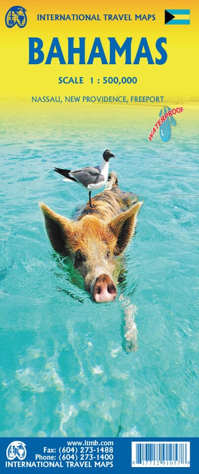
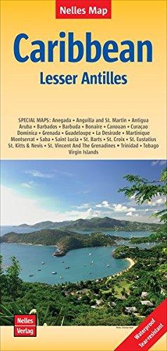
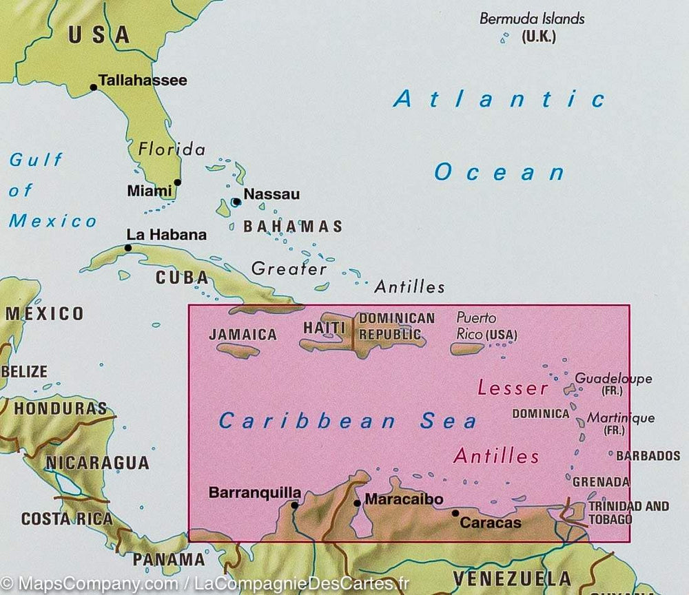
Detailed map of the Bahamas published by ITM. Waterproof road map covering all the Bahamas Islands. Insert the plans of Nassau, New Providence and Freeport.
More from
West Indies


