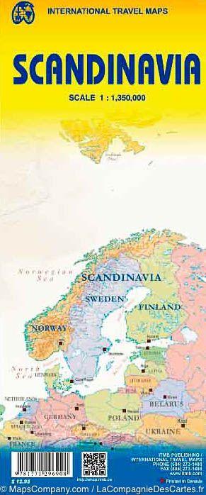
ISBN/EAN : 9781771296908
Publication date: 2015
Scale: 1/350,000 (1cm=3.5km)
Printed sides: both sides
Folded dimensions: 24.6 x 10.3 x 0.5cm
Unfolded dimensions: 100 x 68cm
Language(s): English
Poids :
53 g
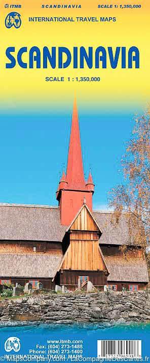
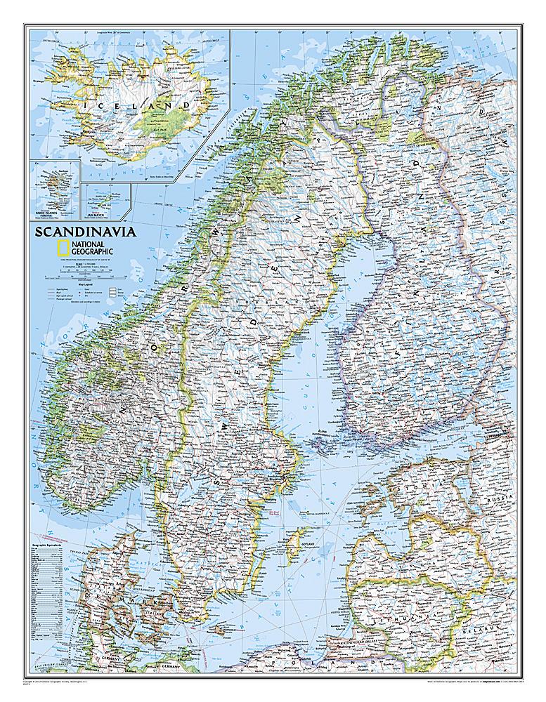
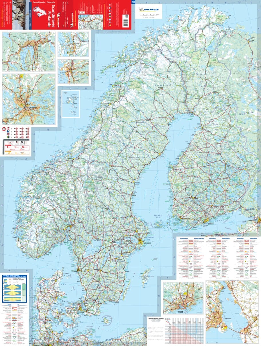
Scandinavia Road Map edited by ITM. Distances and national parks indicated on the map as well as campgrounds. The map is double-sided, with Denmark and most of Norway and Sweden on the front and remaining, plus Finland, on the back. Development of heritage sites, big churches, castles, and many other tourist attractions
Scale 1/1 350 000 (1 cm = 13.5 km).
More from Scandinavia


