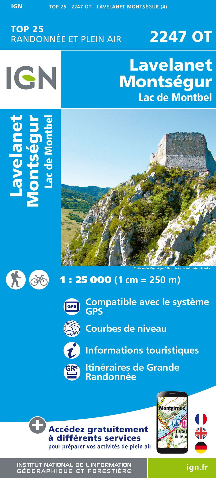
Top 25 # 2247 OT - Lavelanet, Montségur & Lake Montbel (Pyrenees) | IGN
Top 25 # 2247 OT - Lavelanet, Montségur & Lake Montbel (Pyrenees) | IGN
Regular price
$21.00
- Shipping within 24 working hours from our warehouse in France
- Delivery costs calculated instantly in the basket
- Free returns (*)
- Real-time inventory
- In stock, ready to ship
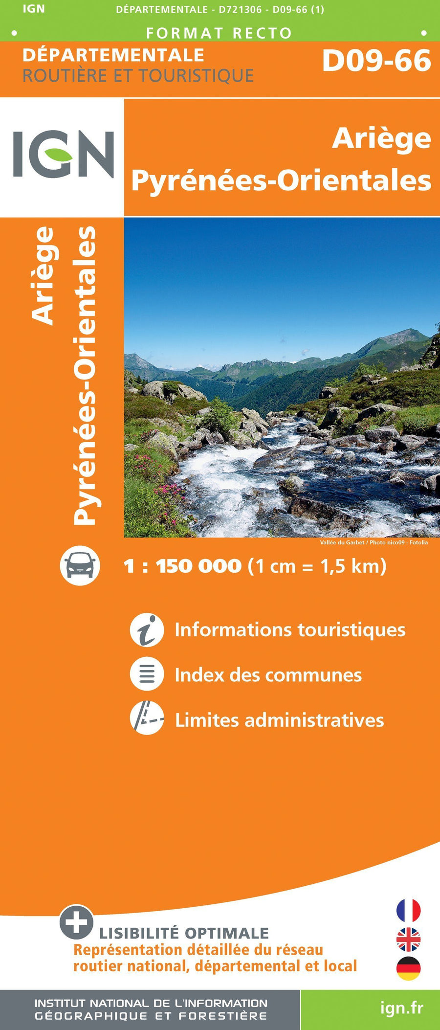
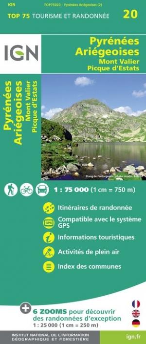
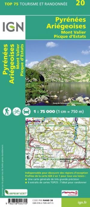
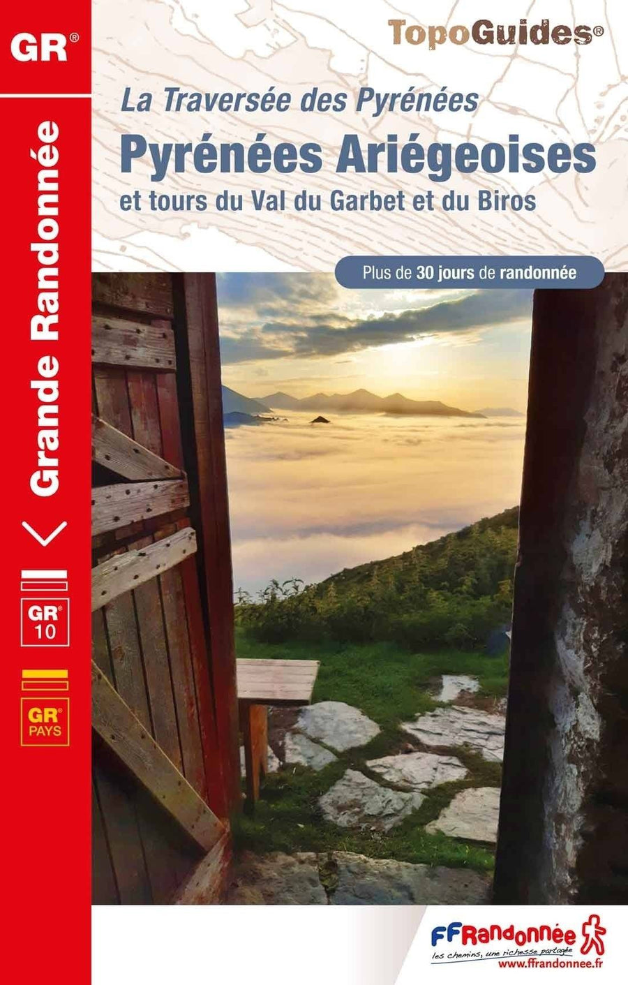
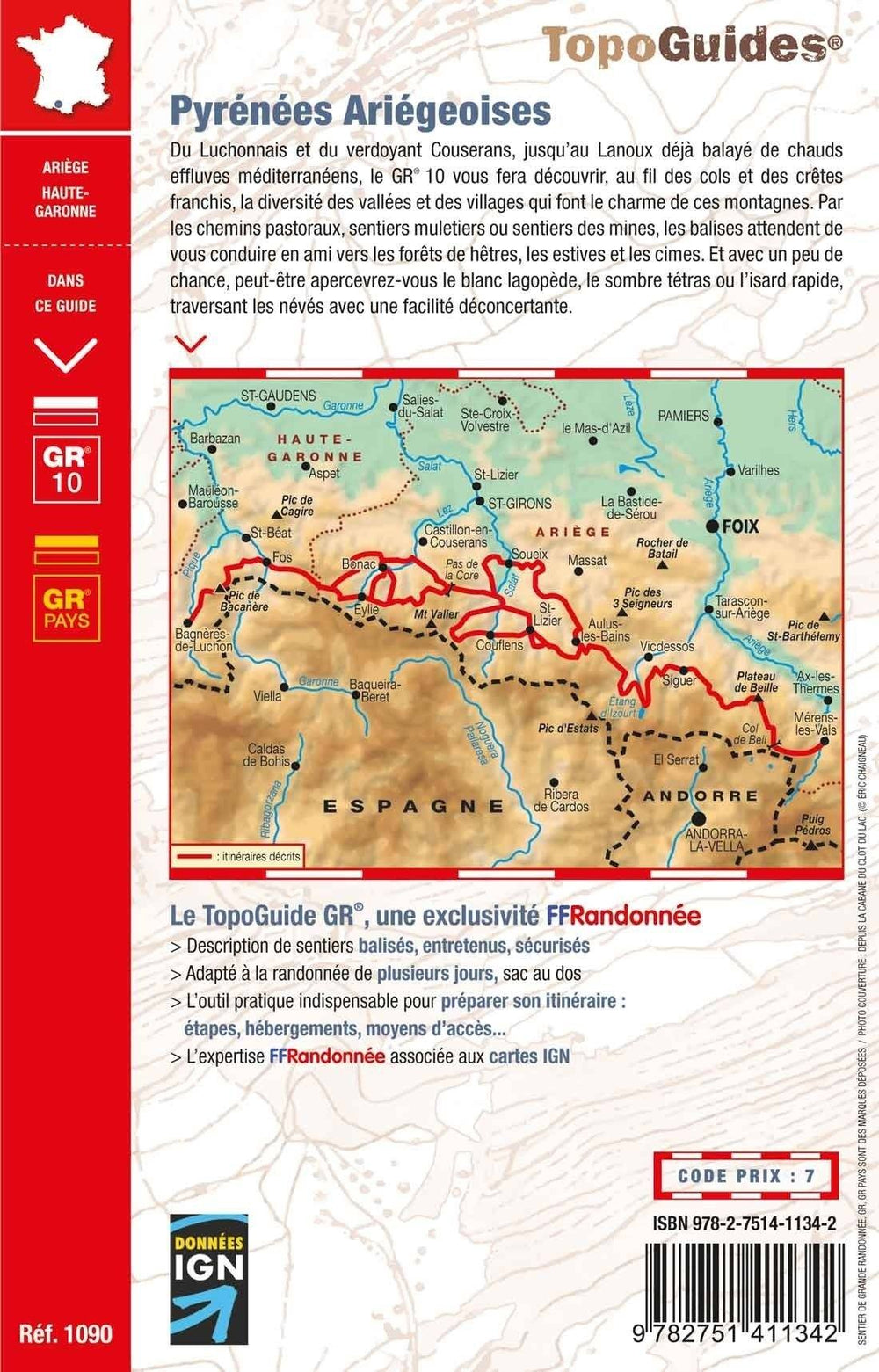
Related geographic locations and collections: Ariège (department 09), Ariège Pyrenees, France GR footpaths, France hiking maps - IGN TOP 25 & SÉRIE BLEUE, French Pyrénées hiking maps - IGN TOP 25 & SÉRIE BLEUE, GR107 - Bonshommes Way, Montségur, Occitania (France) hiking maps - IGN TOP 25 & SÉRIE BLEUE, Occitanie, Pyrenees