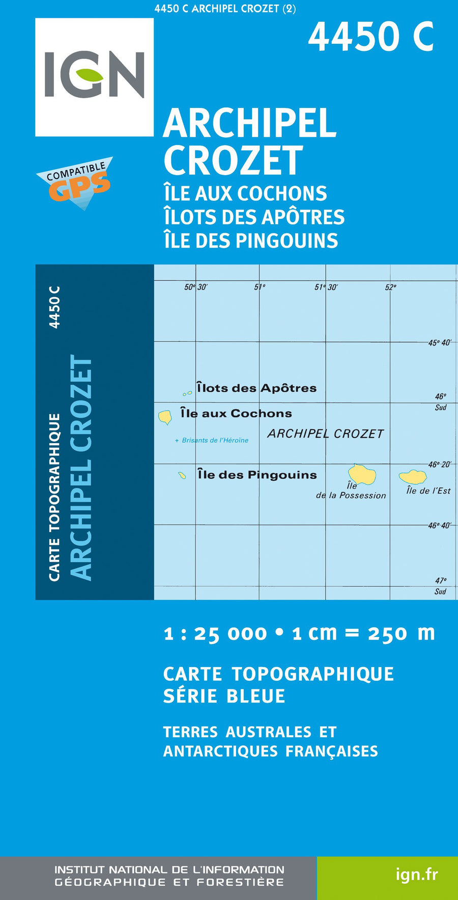

Hiking Map # 4450C - Crozet Archipelago: Pigs Islands, Apostles, Penguins | IGN - Blue Series
Hiking Map # 4450C - Crozet Archipelago: Pigs Islands, Apostles, Penguins | IGN - Blue Series
Regular price
$22.00
- Product on order - Shipping within 5 to 8 working days from our warehouse in France
- Delivery costs calculated instantly in the basket
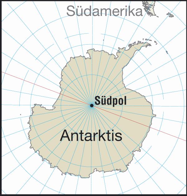
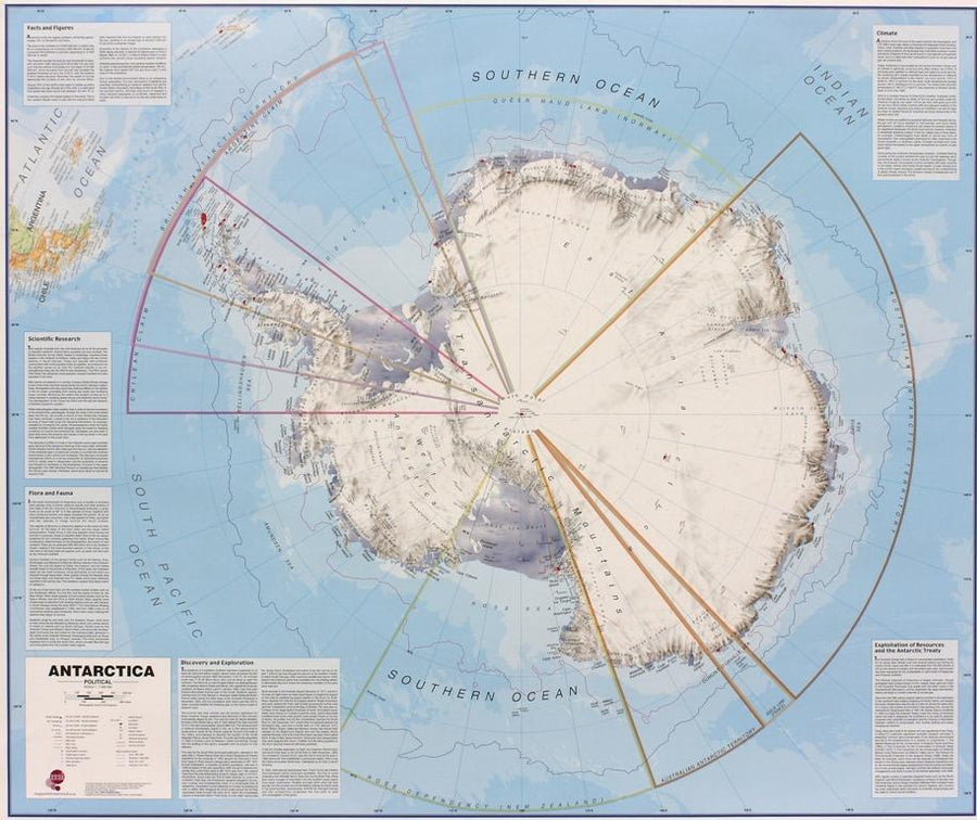
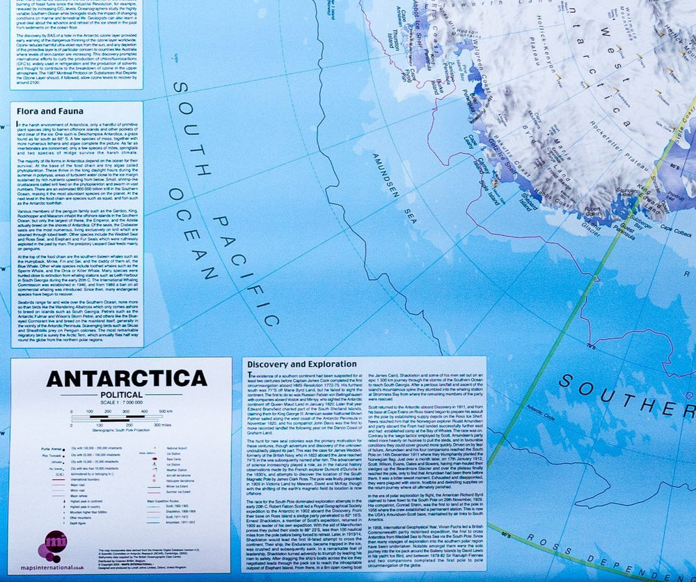
Related geographic locations and collections: Antarctica, The Poles