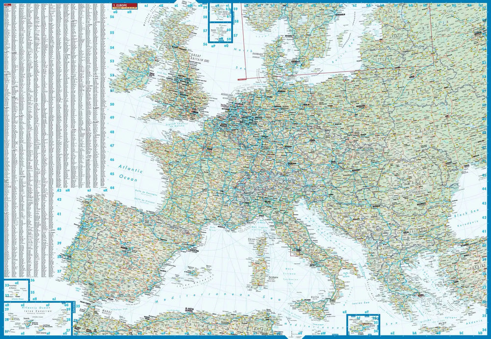
Carte - Europe (chemin de fer & ferry) | Freytag & Berndt carte pliée Freytag & Berndt

Map - Europe (Railway & Ferry) | Freytag & Berndt

Price
Regular price $20.00
Regular price Sale price $20.00
Save $-20
/
  • Shipping within 24 working hours from our warehouse in France
  • Delivery costs calculated instantly in the basket
  • Free returns (*)
  • Real-time inventory
  • In stock, ready to ship
  • Backordered, shipping soon
Tax included.

Often purchased together:

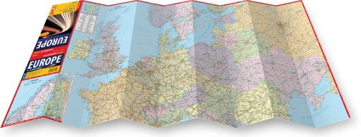
The Freytag & Berndt railroad map of Europe extends from the North Pole to the Red Sea, and from Marrakech to Tashkent. It has been developed for railway and ferry lovers.
The back of the map shows the main international rail linkages with travel time between capitals.
Details: Railways, Ferries, European Travel Time, Cities Index.


ISBN/EAN : 9783707916898
Publication date: 2017
Scale: 1/5,500,000 (1cm=55km)
Folded dimensions: 25.5 x 13cm
Unfolded dimensions: 96 x 114cm
Language(s): German English
Poids : 110 g

Customer Reviews

Based on 1 review
100%
(1)
0%
(0)
0%
(0)
0%
(0)
0%
(0)
r
rachid a. (Chilly-Mazarin, FR)
excellent

tres belle carte ferroviaire de l'Europe de l'Irlande jusqu'à l'est de la Russie et du nord de la Scandinavie jusqu'à Afrique du Nord et tout le moyen orient y compris iran et une partie de la route de la soie , Excellent