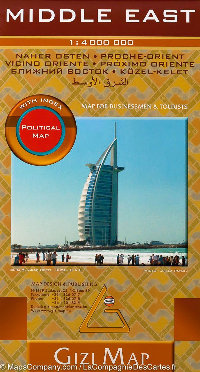
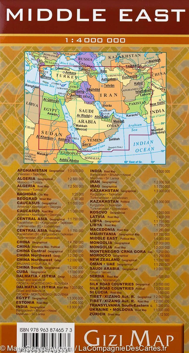
Map of Middle East with Iraq: Crossroads of Faith and Conflict | National Geographic

Political Map of Middle East with Iraq: Crossroads of Faith and Conflict | National Geographic

Political Map of Middle East with Iraq: Crossroads of Faith and Conflict | National Geographic

Regular price $19.00
/
  • Ships within 48 business hours from our US warehouse. For this product, customs fees may be requested by the carrier upon delivery.
  • Delivery costs calculated instantly in the basket
  • Free returns (*)
  • Real-time inventory
  • In stock, ready to ship
  • Backordered, shipping soon
Tax included.

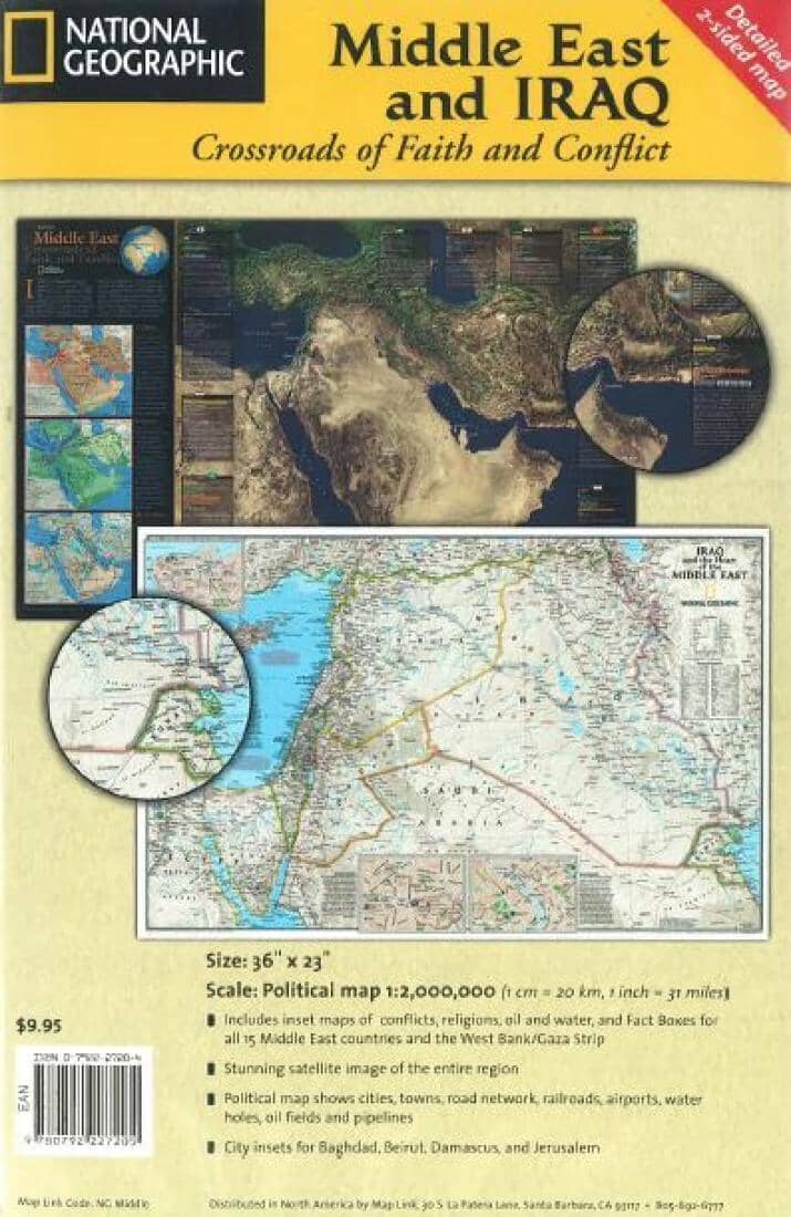
Political map of the Middle East and Iraq with satellite images. Includes inset maps of conflicts, religions, oil and water, and Fact Boxes for all 15 Middle East countries and the West Bank/Gaza Strip.
Features city insets for Baghdad, Beirut, Damascus, and Jerusalem.
Scale 1:2,000,000.


ISBN/EAN : 9780792227205
Publication date: 2010
Scale: 1:2,000,000
Printed sides: both sides
Folded dimensions: 9.06 inches x 5.91 inches (23 x 15 cm)
Unfolded dimensions: 22.24 x 35.24 inches (56.5 x 89.5cm)
Waterproof: non
Tear resistant: non
Language(s): English
Poids : 80 g

Customer Reviews

Be the first to write a review
0%
(0)
0%
(0)
0%
(0)
0%
(0)
0%
(0)