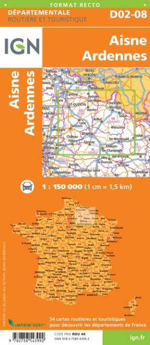


Departmental Map D53-72 - Mayenne & Sarthe | IGN
Departmental Map D53-72 - Mayenne & Sarthe | IGN
Regular price
$9.00
- Shipping within 24 working hours from our warehouse in France
- Delivery costs calculated instantly in the basket
- Free returns (*)
- Real-time inventory
- Low stock - 2 items left
Related geographic locations and collections: IGN - Maps of departments, Laval, Mayenne (department 53), Sarthe (department 72)