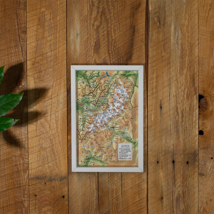
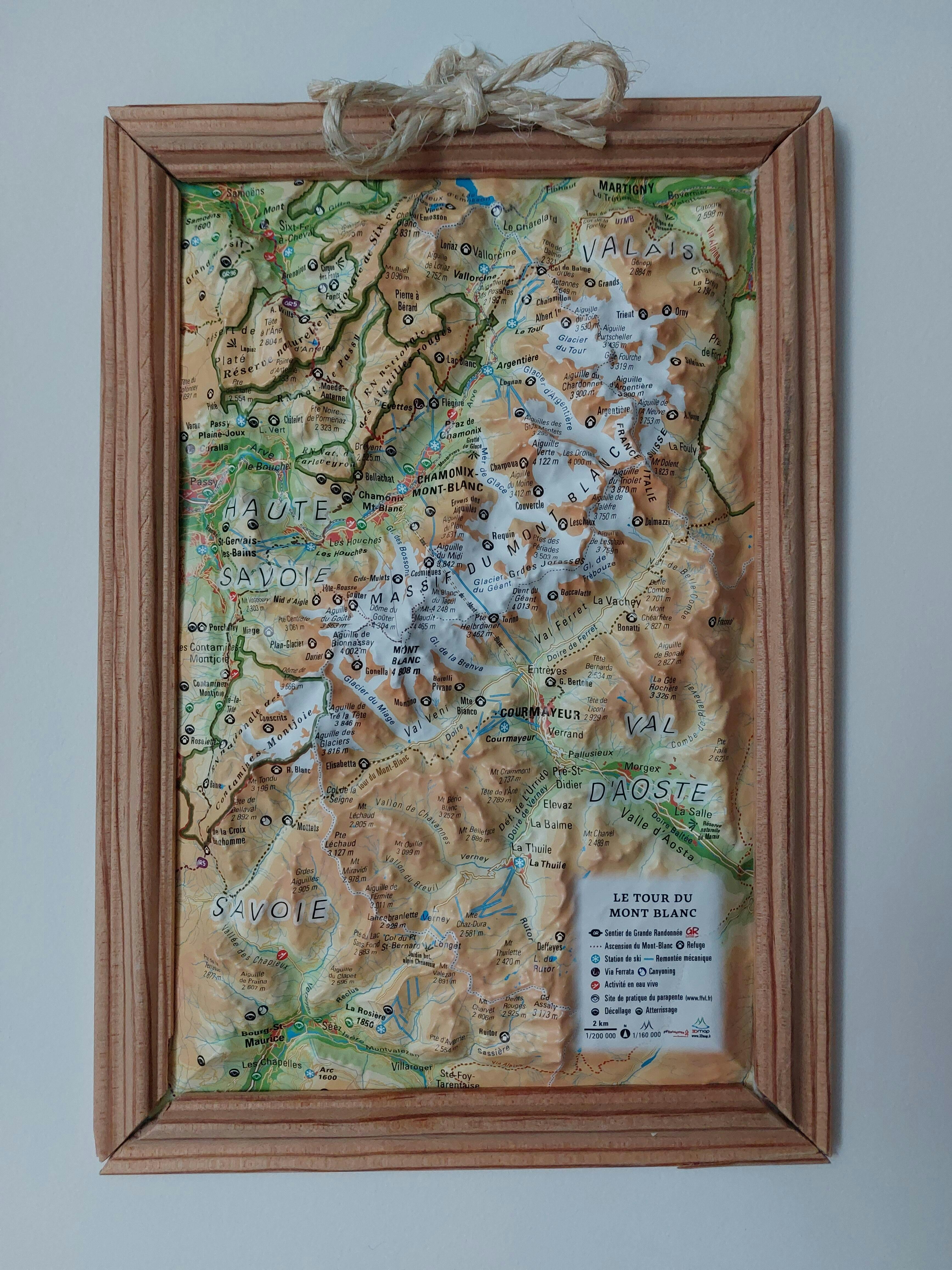
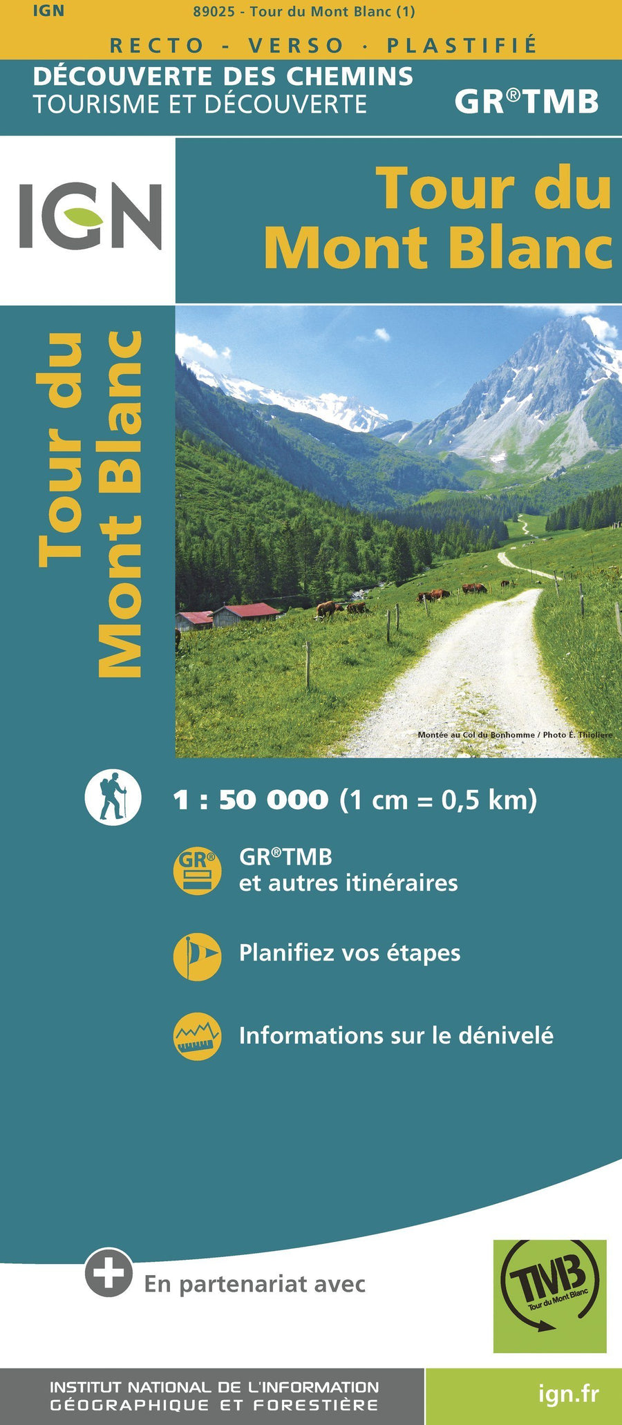
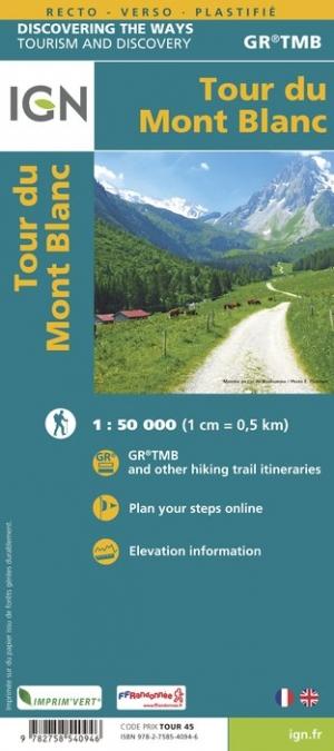
3D Raised Relief Map - Mont Blanc Tour - 19.5 cm x 29.5 cm | 3D MAP (French)
3D Raised Relief Map - Mont Blanc Tour - 19.5 cm x 29.5 cm | 3D MAP (French)
Regular price
$31.00
- Shipping within 24 working hours from our warehouse in France
- Delivery costs calculated instantly in the basket
- Free returns (*)
- Real-time inventory
- Low stock - 2 items left
Related geographic locations and collections: 3D Map - 3D relief map, 3D Raised-Relief Maps, France GR footpaths, Gifts & Accessories, GR TMB - Tour du Mont Blanc, Mont Blanc