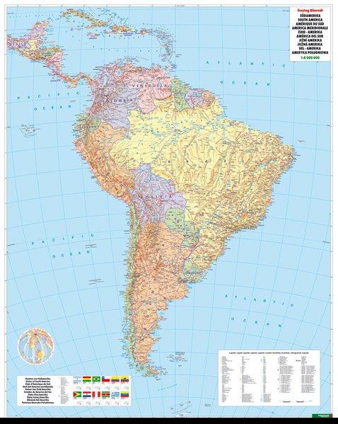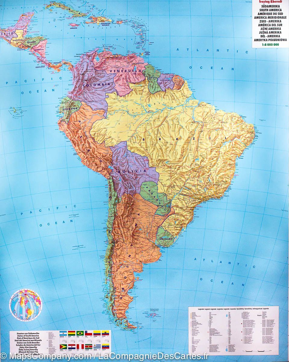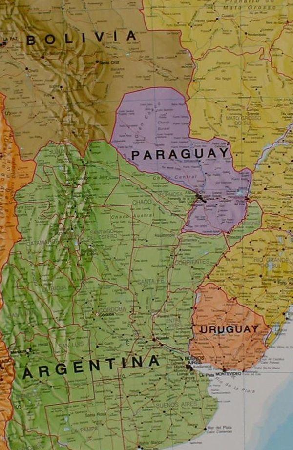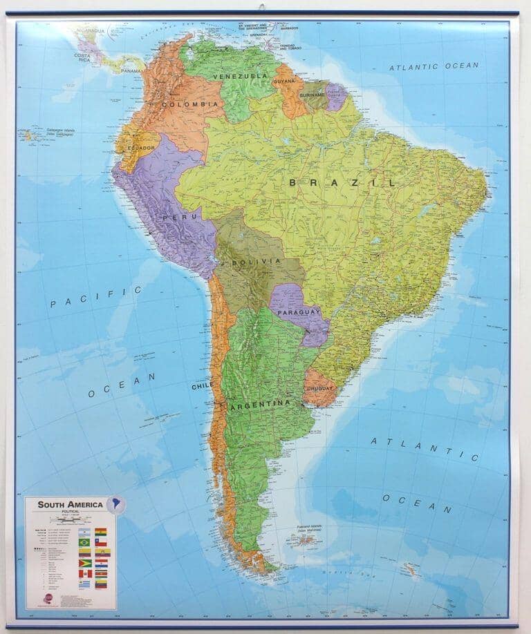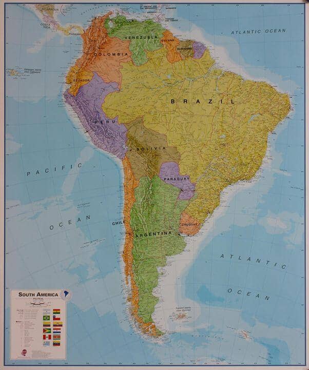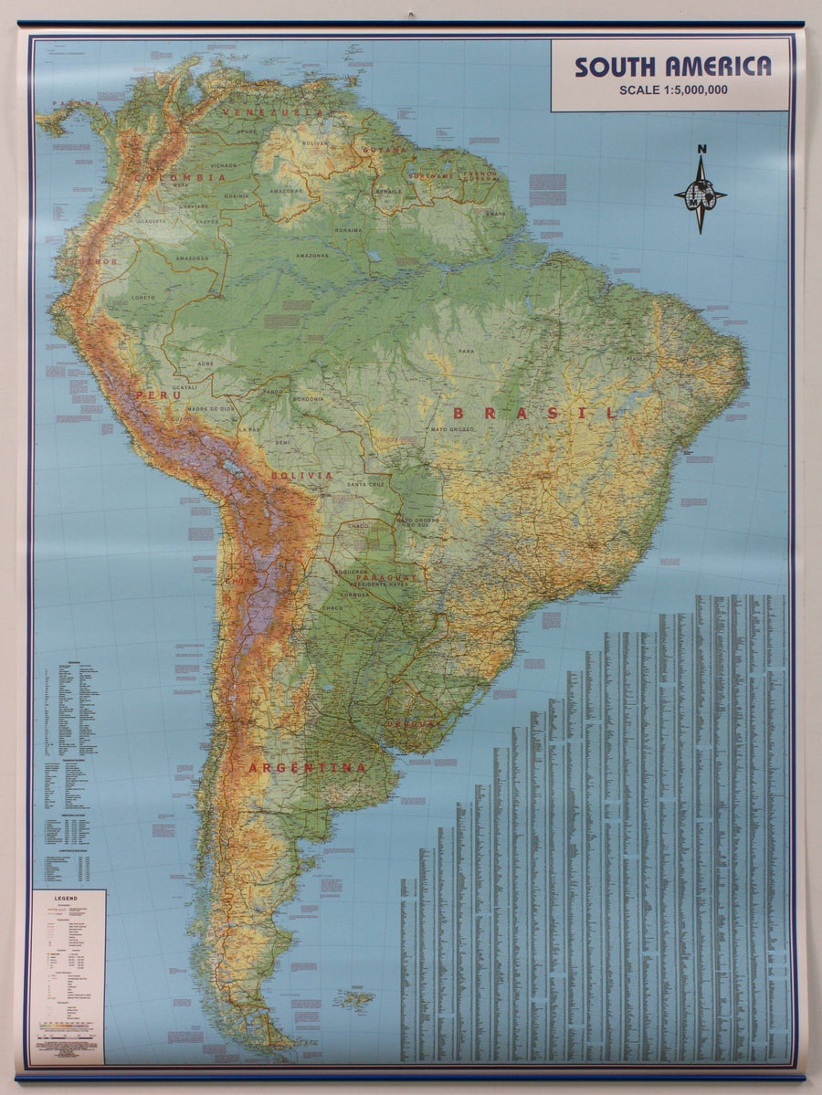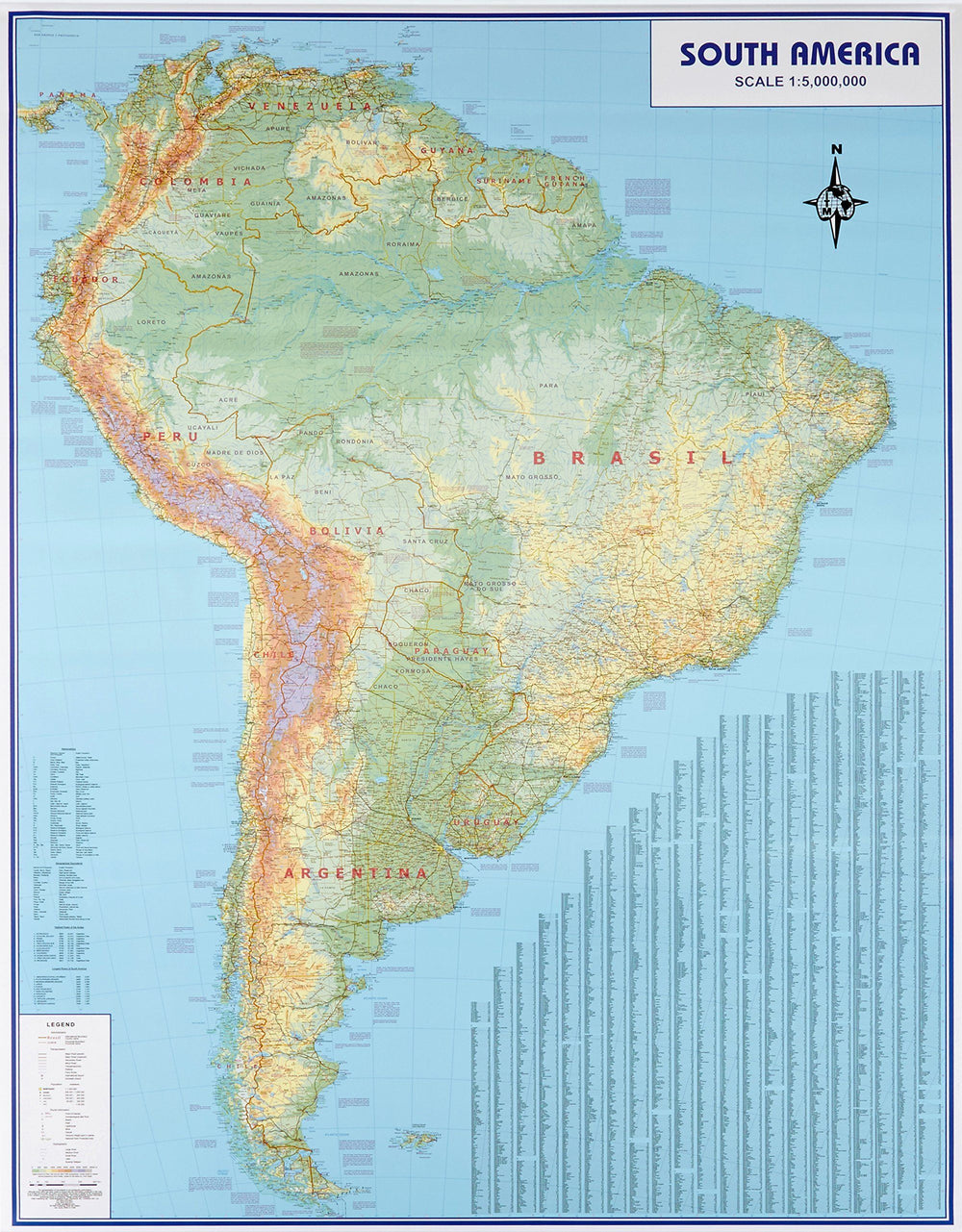

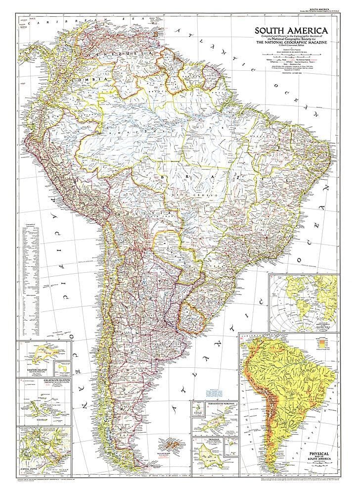
1950 Carte de l'Amérique du Sud
Prix régulier
41,95 €
Prix régulier
Prix réduit
41,95 €
Écomisez -41,95 €
/
-
Expédition sous 48h ouvrées depuis notre entrepôt aux USA. Pour ce produit, des frais de douanes peuvent être demandés par le transporteur à la livraison.
- Frais de livraison calculés instantanément dans le panier
- Retours gratuits (*)
- Stocks en temps réel
- En stock
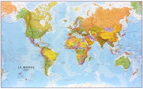
Zones géographiques et catégories liées : Cartes historiques, Cartes historiques de l'Amérique, Toutes nos cartes murales / posters