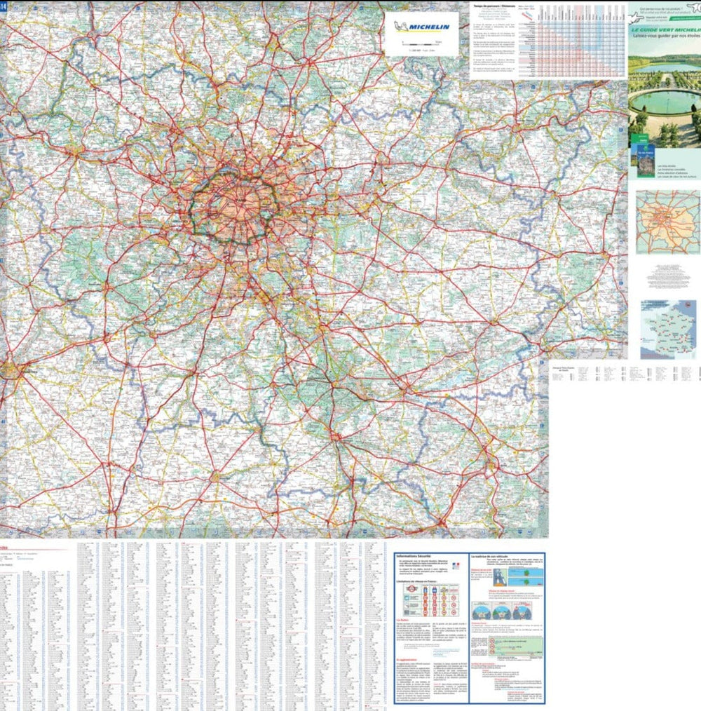


Carte régionale n° 514 - Ile-de-France 2025 | Michelin
Prix régulier
6,95 €
Prix régulier
Prix réduit
6,95 €
Écomisez -6,95 €
/
- Expédition sous 24 h ouvrées depuis notre entrepôt en France
- Frais de livraison calculés instantanément dans le panier
- Retours gratuits (*)
- Stocks en temps réel
- En stock
Zones géographiques et catégories liées : Essonne (département 91), Hauts-de-Seine (département 92), Ile-de-France, Michelin - Cartes des régions de France, Paris (département 75), Seine-et-Marne (département 77), Seine-Saint-Denis (département 93), Val-d'Oise (département 95), Val-de-Marne (département 94), Yvelines (département 78)