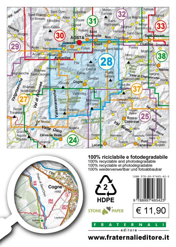
Waterproof and tearful map from the Roero region.
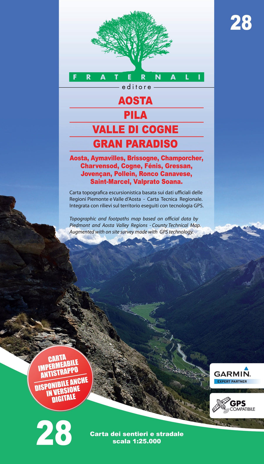
Cover of this map: Alba, Baldissero Alba, Barbaresco, Bra, Alba Canal, Castagnito, Castellinaldo, Cellarengo, Cersole Alba, Cistern Asti, Corneliano Alba, Govone, Guarene, Magliano Alfieri, Monticello Alba, Montà Alba, Montaldo Roero, Monteu Roero, Neive, Piobesi Alba, Pocapaglia, Pralormo , Priocca, Roddi, Sanfrè, Santa Vittoria of Alba, Santo Stefano Roero, Sommariva del Bosco, Sommariva Perno, Verduno, Vezza Alba
Hiking information (refuges, bivouacs, unavareted shelters, climbing walls, areas equipped, places of interest, via ferrata, dangerous passages, etc.) Legends and general information (all fully translated into English, French and German)
This map includes:
- punctual elements such as fountains, pylons and crosses, access bans, caves, etc.
- ski trails of hiking
- ATVs
- Primary and Secondary Way Network
- Designation of Trails and Hiking Itineraries
- Complete Road Network
- Type of Field (Wooded Areas, Stones, Glaciers, etc.)
- Lakes, rivers, streams
- borders of states, regions, provinces, municipalities and national parks
- equidistance level curves 50 m, 10 m, 5 m
- Buildings, Industries, Churches, Cemeteries
- Military constructions, Fortifications
- Full toponymy
- Stations, motorway outputs E
This document also contains a metric grid indicated in the frame according to the UTM WGS84 projection.