ISBN/EAN : 9783302010120
Publication date: 2021
Scale: 1/25,000 (1cm=250m)
Printed sides: front
Folded dimensions: 13 x 19cm
Unfolded dimensions: 78 x 56cm
Language(s): multilingual including French
Poids :
40 g
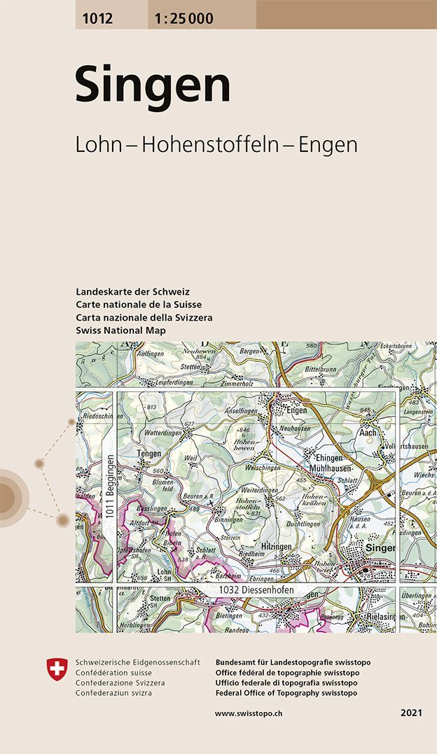
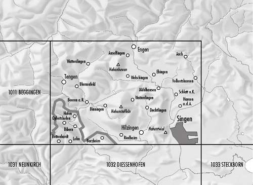
Detailed topographic map published by Swisstopo for hiking that covers the region of Singen (Germany), to Engen north and Tengen west with also a small part of Switzerland. Level curves and mountain information included.
More from Bade-Wurtemberg


