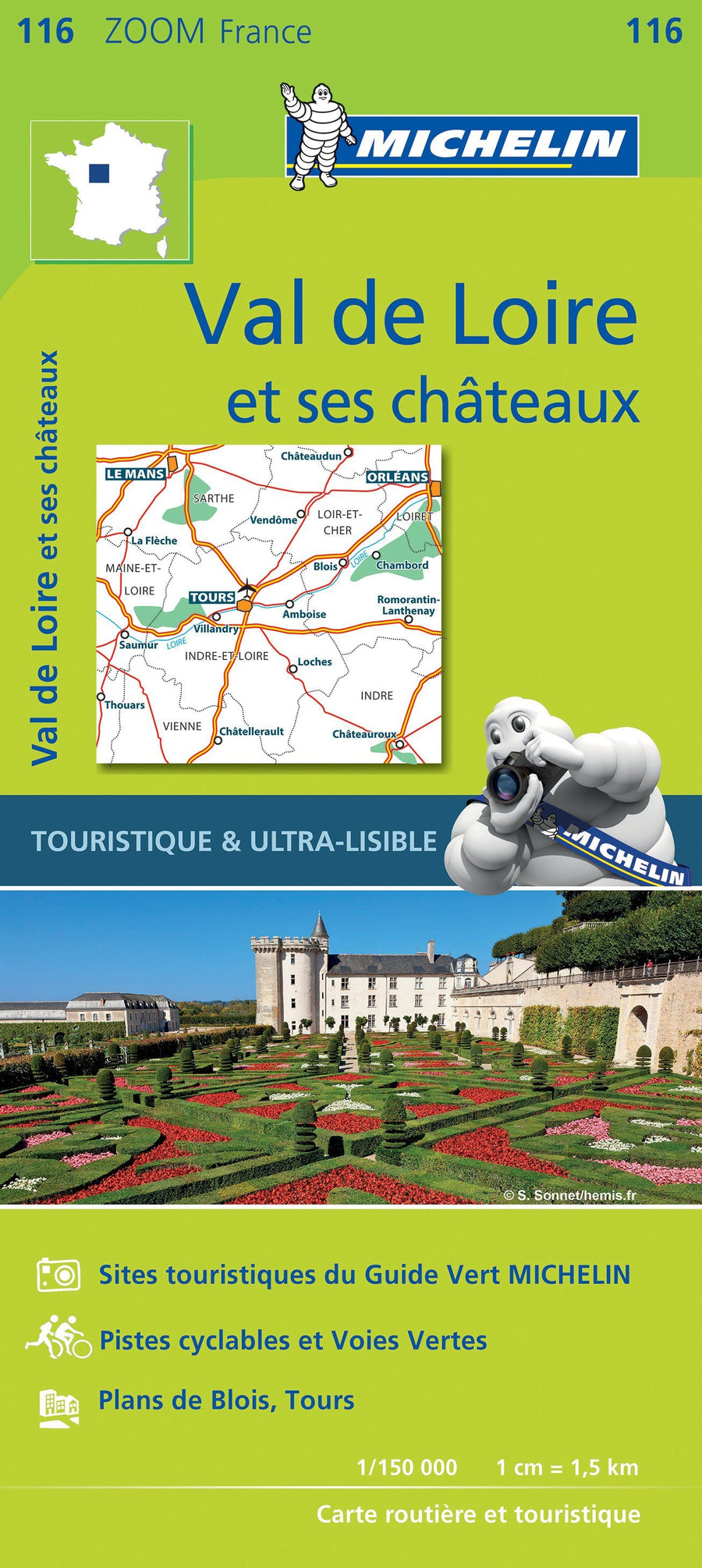
Road Map # 116 - Val de Loire and its castles | Michelin - Zoom France
Road Map # 116 - Val de Loire and its castles | Michelin - Zoom France
Regular price
$14.00
- Shipping within 24 working hours from our warehouse in France
- Delivery costs calculated instantly in the basket
- Free returns (*)
- Real-time inventory
- Low stock - 2 items left
Related geographic locations and collections: Blois, Centre-Val de Loire, Châteauroux, Châteaux of the Loire (France), Châtellerault, Loire Valley, Pays de la Loire, Saumur, Tours