ISBN/EAN : 9788361155140
Publication date: 2016
Scale: 1/175,000 (1cm=1.75km)
Printed sides: both sides
Folded dimensions: 24 x 11.2 x 0.5cm
Unfolded dimensions: 100 x 49cm
Language(s): English
Poids :
127 g
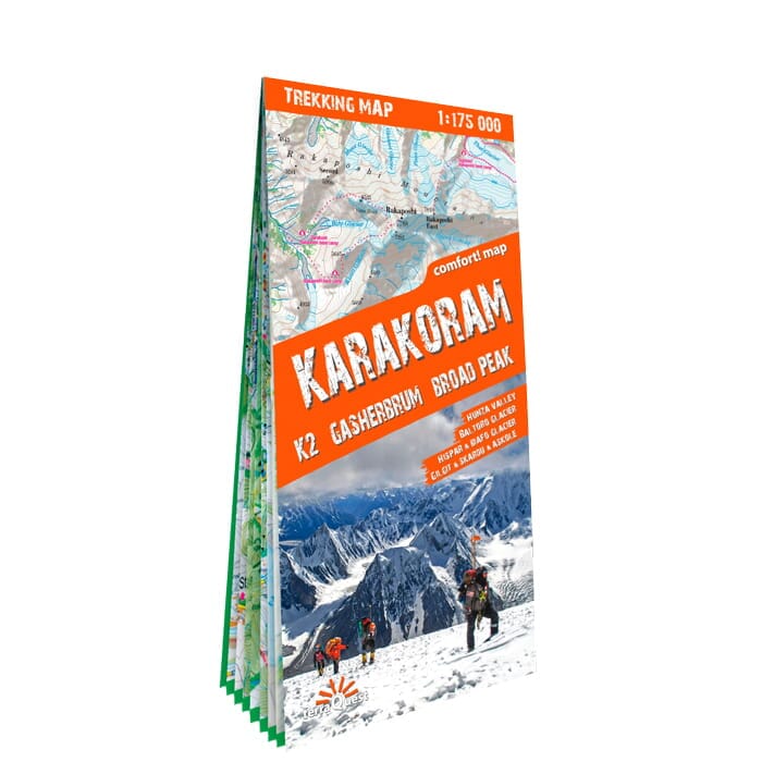
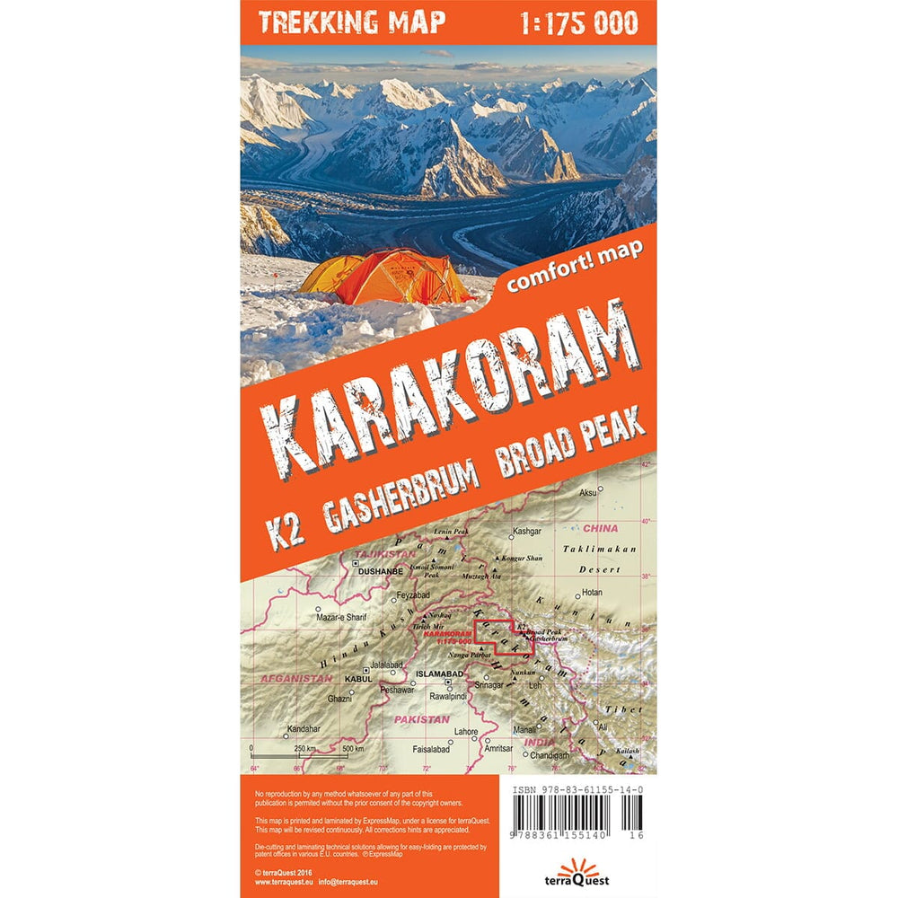
Hiking Map of the Karakoram massif, including the K2, edited by Terraquest.
This trekking map is fully laminatedized, and easy to handle. Indication of trekking circuits, tourist infrastructures, natural treasures and other points of interest not to be missed. This detailed map includes lines of level.
Compatibility with GPS data (settings are shown in the WGS-84 system). Multilingual legend.
Scale 1/175 000 (1 cm = 1.75 km).
More from China


