Guide de randonnées (en anglais) - Westweg trekking through Germany's Black Forest | Cicerone

Prix
Prix régulier 21,90 €
Prix régulier Prix réduit 21,90 €
Écomisez -21,90 €
/
  • Expédition sous 24 h ouvrées depuis notre entrepôt en France
  • Frais de livraison calculés instantanément dans le panier
  • Retours gratuits (*)
  • Stocks en temps réel
  • 1 en stock
  • En rupture de stock, expédition prochainement
Taxes incluses.

Souvent achetés ensemble :

Topoguide (en anglais) de l'éditeur Cicerone.
Description fournie par l'éditeur :
Guidebook to the Westweg (Westway), a 285 km walk across Germany's Black Forest from Pforzheim to Basel. This classic route, which includes Feldberg, Black Forest's highest peak, takes 13 to 14 days, each day stage ranging from 15 to 28 km. Two variants are described, both well way-marked and suitable for those new to long distance walking.
Seasons : The Westweg is a Höhenweg, or 'high route', so it is best to walk this trail during the main hiking season between April and the end of October.
Centres : The Westweg starts in Pforzheim or in Basel, but it is possible to do half the route and start in Hausach.
Difficulty : A medium-sized mountain range, the Black Forest's highest peaks are just under 1500m. The terrain is easy, although some of the ascents are steep. Anyone with a good level of endurance and some hill walking experience would be able to enjoy this long distance trail.
Must See : Feldberg - highest mountain in the Black Forest; Belchen - sacred mountain of the Celts; the source of the Danube; Lake Titisee; Herrenwieser See; Burg Rötteln castle; Sausenburg; Wolsfsschlucht gorge;the vineyards and orchards of the Markgräflerland; Kaltenbronn nature reserve; Mummelsee; Murgtal; Black Forest National Park; Ruhestein; Dachsberg; Herzogenhorn; Hochblauen


ISBN/EAN : 9781852847753
Date de publication : 2016
Dimensions plié(e) : 12 x 18 cm
Langue(s) : anglais
Poids : 225 g

Customer Reviews

No reviews yet
0%
(0)
0%
(0)
0%
(0)
0%
(0)
0%
(0)
Plus de Forêt Noire
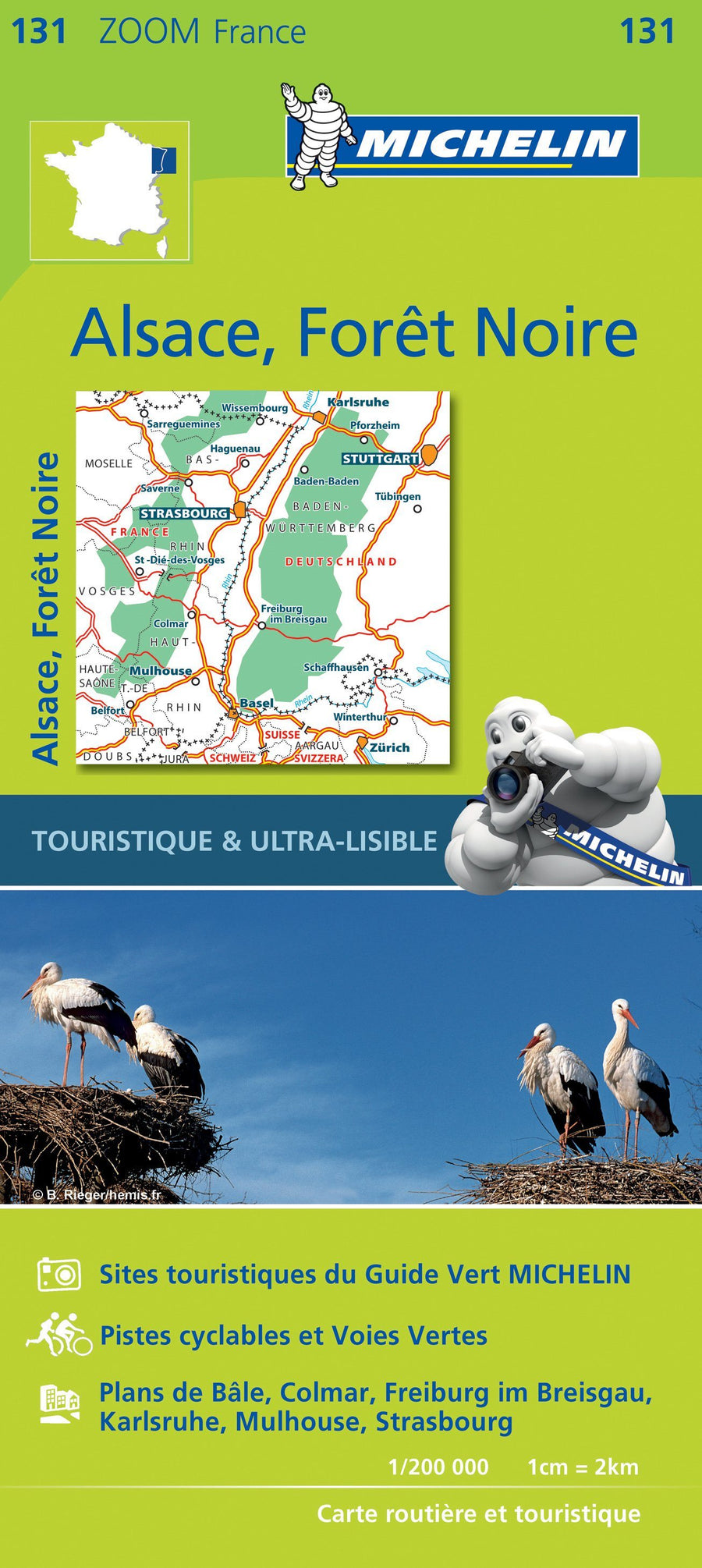
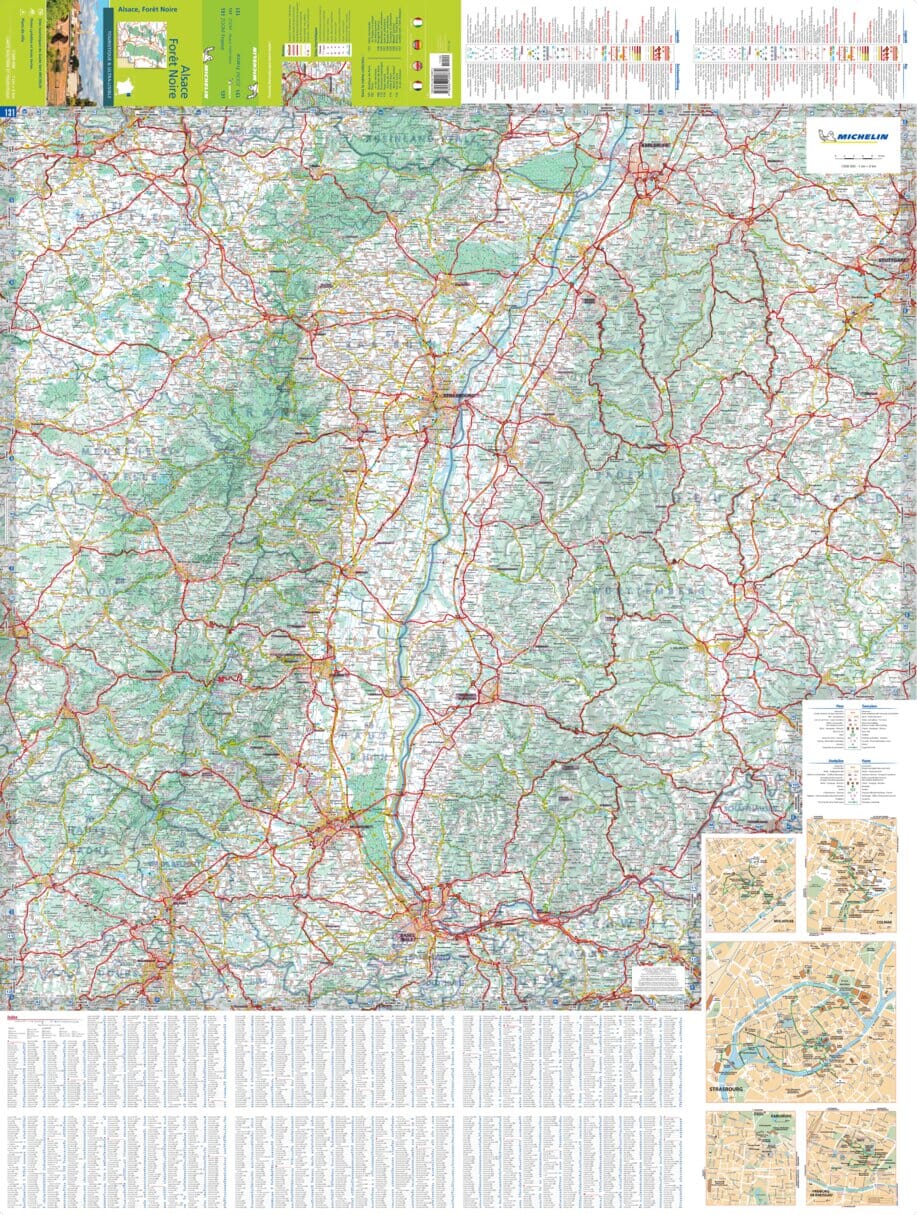
Carte routière n° 131 - Forêt Noire & Alsace | Michelin carte pliée Michelin
Carte routière n° 131 - Forêt Noire & Alsace | Michelin - Zoom France carte pliée Michelin
Carte routière n° 131 - Forêt Noire & Alsace | Michelin - Zoom France
Michelin
8,90 €
Carte routière - sud de l'Allemagne - Bavière & Forêt Noire | IGN carte pliée IGN
Carte routière - Allemagne Sud, Bavière & Forêt Noire | IGN
IGN
7,00 €
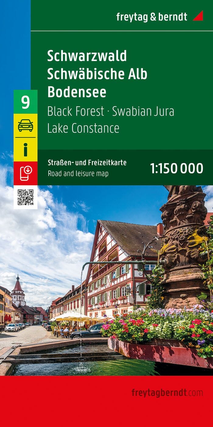
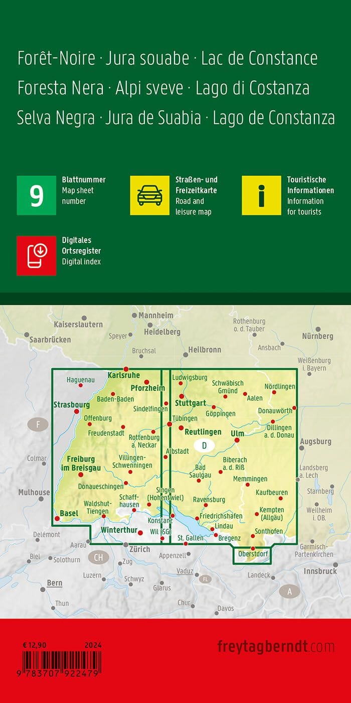
Carte routière n° 9 (Allemagne) - Forêt Noire, Schwäbische Alb, lac de Constance (Allemagne) | Freytag & Berndt - 1/150 000 carte pliée Freytag & Berndt
Carte routière n° 9 (Allemagne) - Forêt Noire, Schwäbische Alb, lac de Constance (Allemagne) | Freytag & Berndt - 1/150 000
Freytag & Berndt
12,90 €
Carte routière n° 15 (Allemagne) - Forêt Noire | Freytag & Berndt - 1/150 000 carte pliée Freytag & Berndt
Carte routière n° 15 (Allemagne) - Forêt Noire | Freytag & Berndt - 1/150 000
Freytag & Berndt
12,90 €
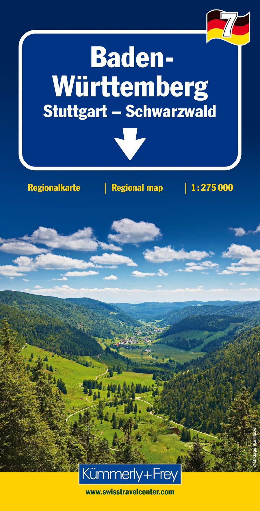
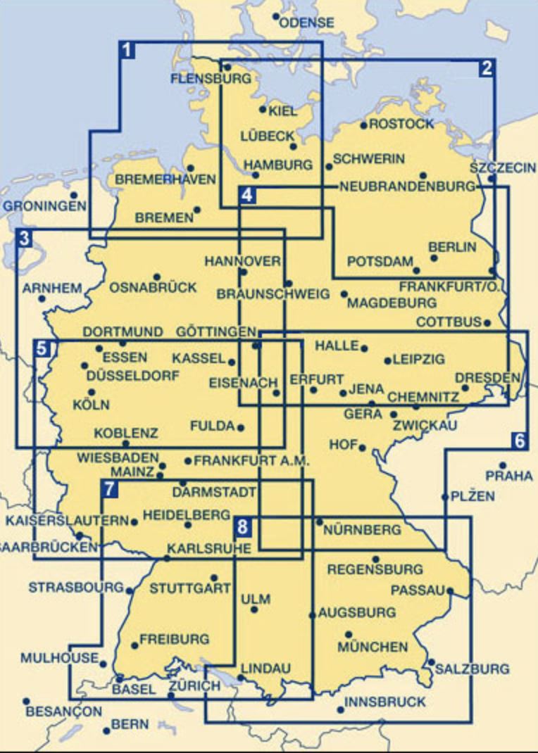
Carte routière - Allemagne n° 7 : Bade-Wurtemberg, Stuttgart, Forêt Noire | Kümmerly & Frey carte pliée Kümmerly & Frey
Carte routière - Allemagne n° 7 : Bade-Wurtemberg, Stuttgart, Forêt Noire | Kümmerly & Frey
Kümmerly & Frey
11,95 €