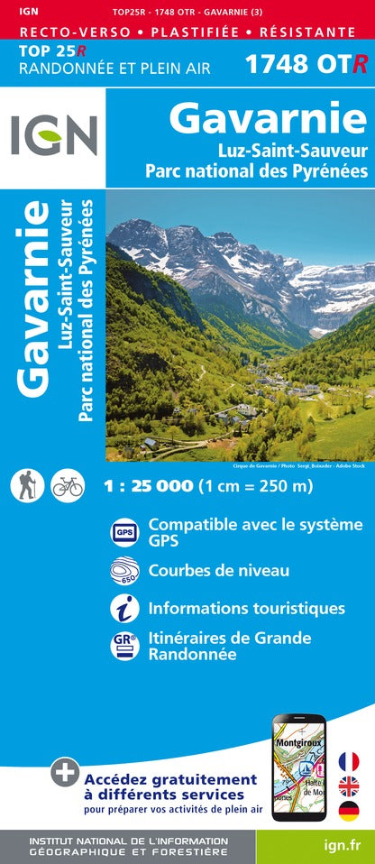
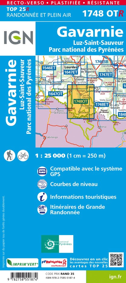
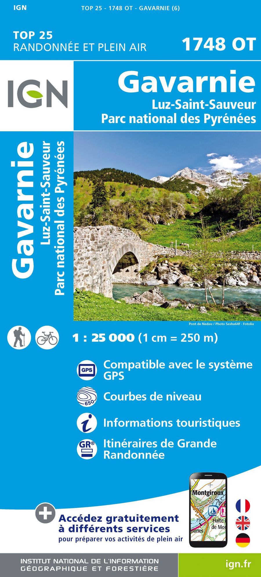
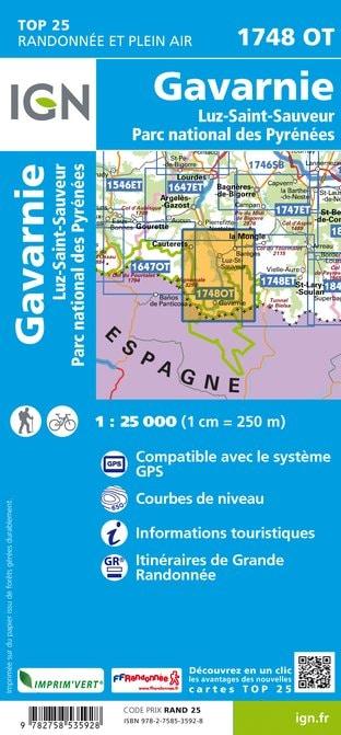
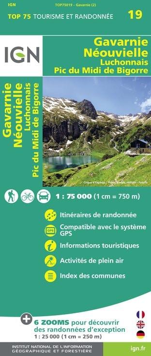
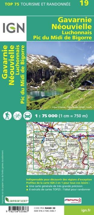
Set of 2 hiking maps - Néouvielle, Gavarnie - Midi de Bigorre (East Pyrenees National Park) | Alpina
Set of 2 hiking maps - Néouvielle, Gavarnie - Midi de Bigorre (East Pyrenees National Park) | Alpina
Regular price
$28.00
- Shipping within 24 working hours from our warehouse in France
- Delivery costs calculated instantly in the basket
- Free returns (*)
- Real-time inventory
- In stock, ready to ship
Related geographic locations and collections: Editorial Alpina, Gavarnie, Hautes-Pyrenees (department 65), Neouvielle massif, Pic du Midi de Bigorre, Pyrenees, Pyrenees National Park