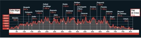
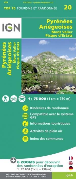
Hiking Map - Porta del Cel | Alpina
Hiking Map - Porta del Cel | Alpina
Regular price
$46.00
- Shipping within 24 working hours from our warehouse in France
- Delivery costs calculated instantly in the basket
- Free returns (*)
- Real-time inventory
Related geographic locations and collections: Cap de Creus, Catalan Pyrenees, Catalonia, Editorial Alpina, France GR footpaths, GR11 - Ruta Transpirenaica (Spain), Pyrenees, Spanish Pyrenees, Spanish Pyrenees - Alpina