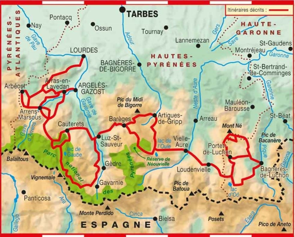
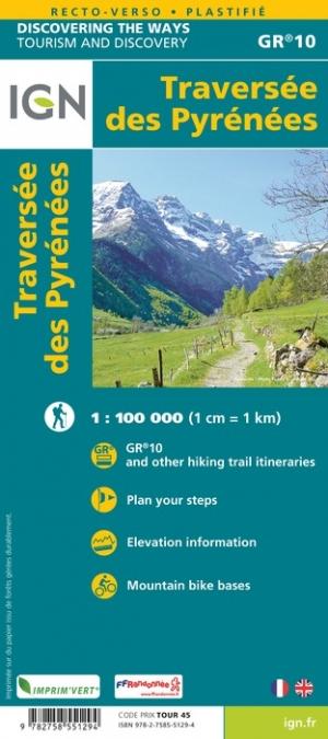
Cette topocarte s’appuie sur le tracé du GR® 10 et propose une boucle de 6 jours pour voir de grands sites tels que le Pont d'Espagne, le lac de Gaube, la face nord de Vignemale et de Gavarnie.
Un produit tout en un pour vivre l’itinérance en toute sérénité. Découpage des étapes à la journée, atouts de la région traversée, cartographie IGN précise, traces gpx à télécharger, hébergements… Toutes les informations nécessaires au randonneur itinérant sont précisées sur cette topocarte recto-verso solide et souple.
Au cœur des Pyrénées centrales, imprégnez-vous de la diversité des ambiances pyrénéennes de la montagne minérale, au pied du Vignemale, aux vallées fleuries accueillant un pastoralisme encore bien vivant.
S'il se déroule en partie en haute montagne, le parcours n'est pas réservé aux montagnards aguerris et s'adresse à des randonneurs sportifs.
À travers le parc national des Pyrénées, découvrez les grands sites qui ont fait la renommée du territoire : Cauterets, ses thermes et cascades, le lac de Gaube reflétant la paroi du Vignemale, la Hourquette d'Ossoue, point le plus élevé du GR® 10 (2734 m) et, bien sûr, le grandiose cirque de Gavarnie, classé au patrimoine mondial de l'Unesco. Une invitation à la beauté !
Les + :
- 6 jours d'itinérance sur GR.
- Topocarte tout en un pour vivre une itinérance facilitée.
- Papier recto-verso résistant à la pluie, aux accrocs, solide et souple.
- Des étapes prédéfinies et prédécoupées.
- Des tracés sur fonds IGN et des sélections d'hebergements et de transports !
- Des accès à la trace GPX sur MaRando.