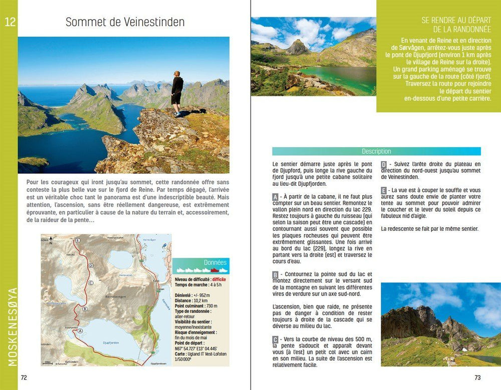
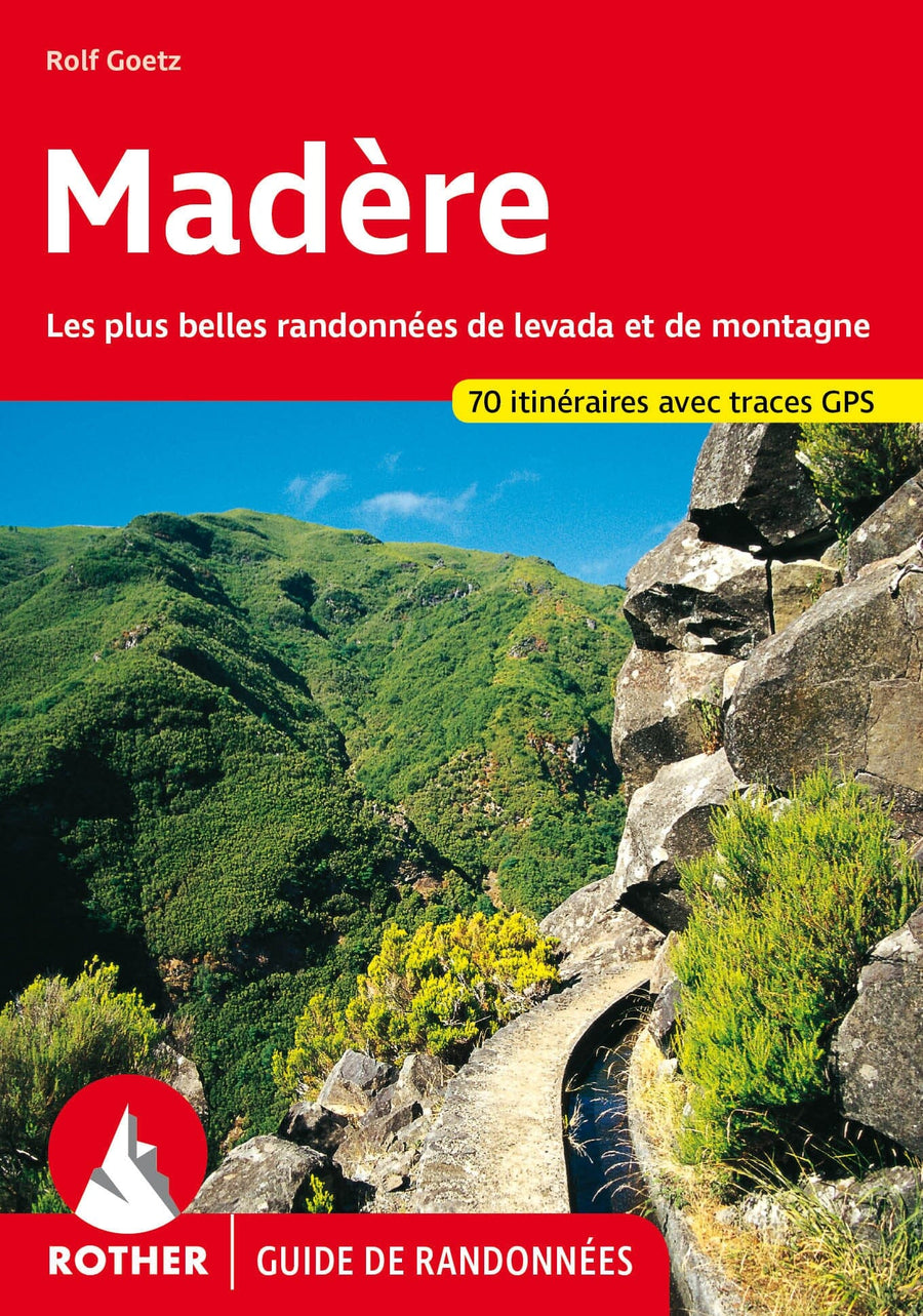
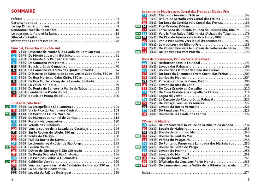
With its 28 circular and classified circuits, all tested and tested by experienced walkers, this Hiking guide is ideal for visitors and locals. Itineraries go long walks to exhilarating hikes, so there is something for all tastes. Each route includes a detailed description, the Ordnance Survey map for the road, the GPS path points and the main historical and landscape features.
The Brecon Beacons National Park has four distinct mountain ranges, including Black Mountains and Beacons. Most of the region rests on old red sandstone, unlike the more steep mountains from northern Wales, and several walks explore this land of smooth and grassy highlands and vast open panoramas, including the Beacons Horseshoe break. You can also explore the aquatic calm of LLANGORS Lake, the mountainous challenge of Fan Y Big, walk behind the spectacular SGWD and EIRA Falls, visit the Priory Reclus Llanthony and admire the magnificent view of Abergavenny from Blorenge.
ISBN/EAN : 9780319090015
Publication date: 2016
Folded dimensions: 13.7 x 23.8cm
Language(s): English
Poids :
200 g


