Pocket topoguide (in English) from the publisher Cicerone with detailed information for hiking in the Arolla and Zinal region (Swiss Alps).
Description provided by the publisher:
A guidebook to 35 day walks and 2 multi-day hikes in Switzerland's Arolla and Zinal. Exploring the beautiful scenery of Val d'Herens and Val d'Anniviers, west of Zermatt, the routes are generally long and high but on well-maintained paths, with some calling for a good head for heights.
Day walks range from 9 to 22km (6–14 miles) and can be enjoyed in 2–10 hours. The routes are graded allowing you to choose routes suitable for your ability. Two multi-day hikes are also outlined, combining the day walks described.
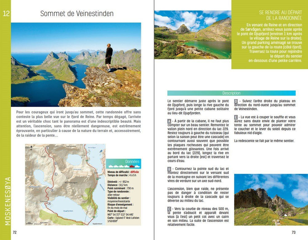
- 1:50,000 maps are included for each walk
- GPX files available to download
- Detailed information on planning, facilities and public transport
- Highlights include Dent Blanche and Lac Bleu
ISBN/EAN : 9781786310965
Publication date: 2024
Pagination: 208 pages
Folded dimensions: 16 x 23cm
Language(s): English
Poids :
230 g


