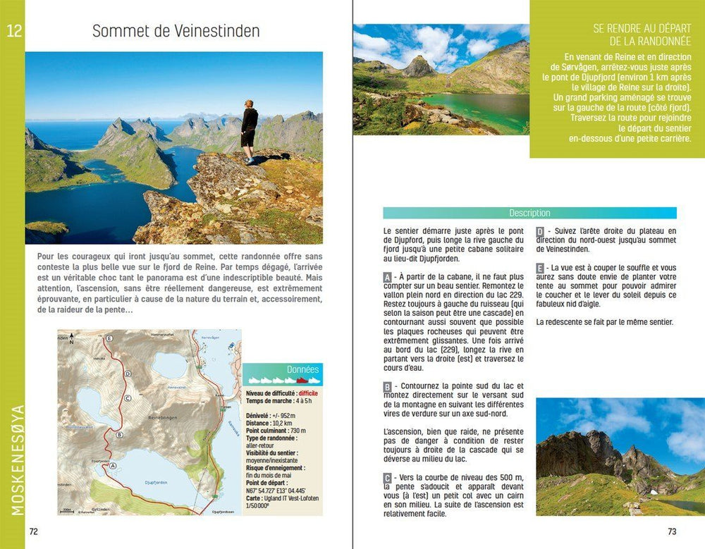
Topoguide (in English) of the Fife Pilgrim Way (Scotland) published by Rucksack Readers.
The guide is spiral-bound, lightweight, waterproof, and includes a general map of the trek.
Description provided by the publisher:
This route runs from the Firth of Forth near Edinburgh to the famous pilgrim destination, St Andrews. It is rich in industrial heritage, passing through former mining communities, railways, textile centers and castles. Above all, it celebrates Fife's pilgrim kingdom and history through its many churches and other religious sites.
Starting either from the historic village of Culross, or the pilgrim landing at North Queensferry, it runs for 56 miles (91 km) from west to east across Fife. Most walkers will take 5-6 days to complete the journey on foot. Cyclists with mountain or gravel bikes can ride most of the route in most conditions over 2-3 days, but may sometimes – where the ground is very wet or the path too narrow – need to dismount.
ISBN/EAN : 9781913817183
Publication date: 2024
Pagination: 72 pages
Folded dimensions: 13 x 22cm
Language(s): English
Poids :
180 g


