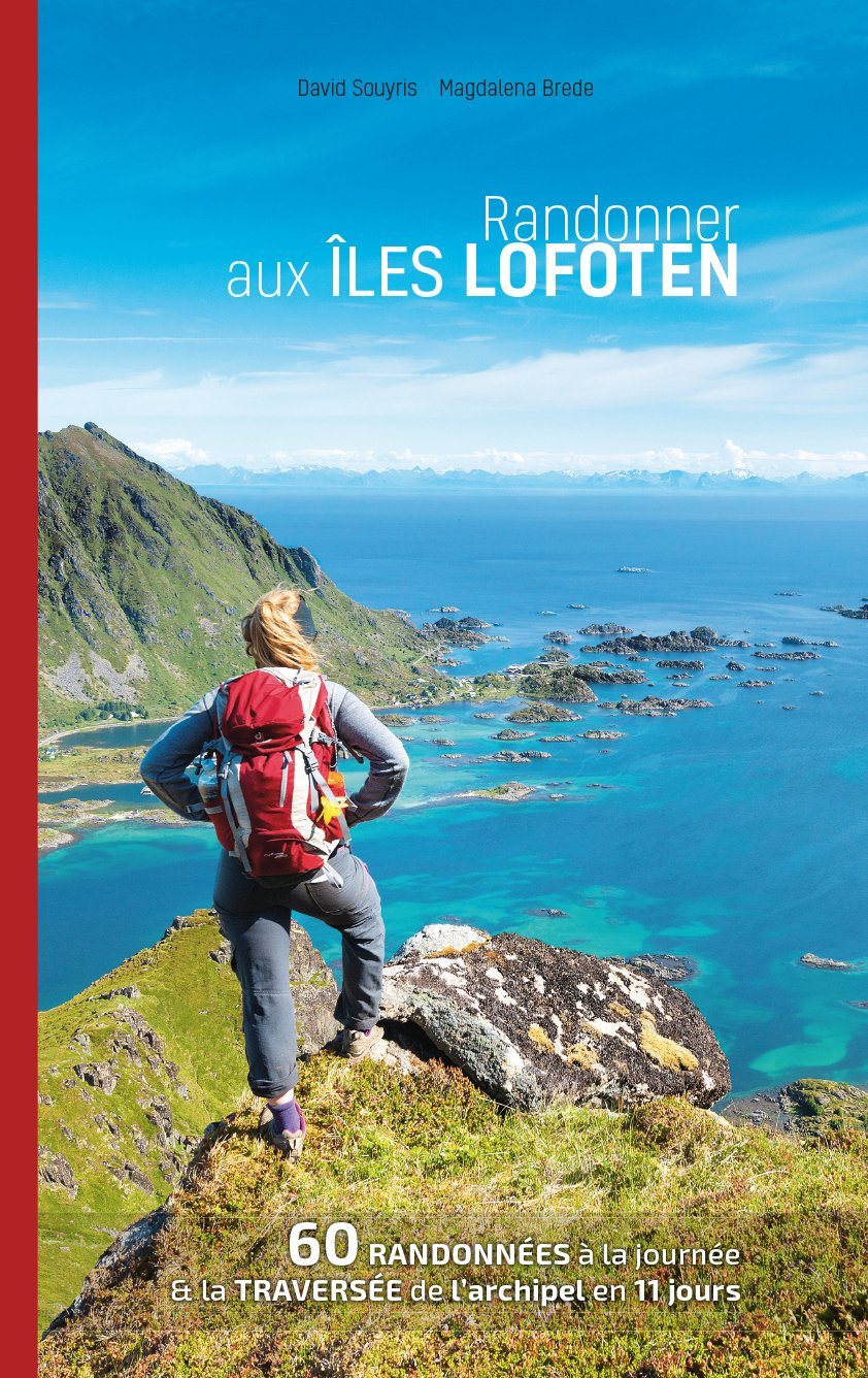
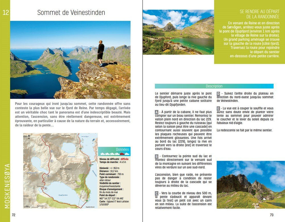
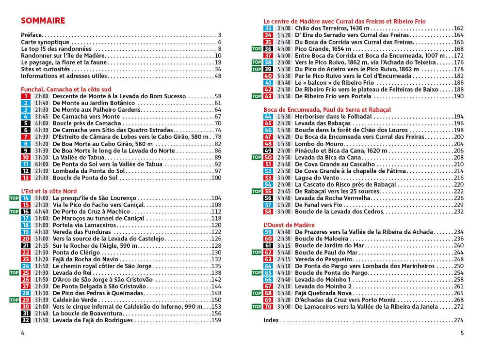
Topoguide of the Cicerone publisher to discover southern Norway on foot.
Description provided by the publisher: Clear Route Description and Mapping ARE Provided for Each Trek. Internships Are Graded According to Difficulty: Although All of the Roads Follow Waymarked Trails, Some Cross Remote and Challenging Terrain Which May include Exposed Sections Calling for A Sure Foot and A Good Head for Heights. However, In Many Instances, Alternatives Are Provided Avoiding The Most Application Sections. The Guide Also Offers Comprehensive Advice On Public Transport Access and Accommodation Options, and Background Notes On Each of the Featured Mountain Regions.
This Guide Describes 10 Shorter Hut - to - hut Treks Showcasing Southern Norway's Wild Natural Beauty, with highlights Including Galdhopiggen - Norway's Highst Peak at 2469M - and The Iconic Pulpit Rock and Kjeragbolten on the Lysefjord. The Roads Range From 3 to 8 Days (Although Many Can Be Adapted Or Combined To Create Longer Golder Roads) and Cover Jotunheimen, Rondane, Dovoufjell, Trollheimen and Ryfylke. They are Suitable for Experienced Hikers with a good Level of Fitness and Can Be Walked from Mid - July to The End of September.
ISBN/EAN : 9781852849757
Publication date: 2021
Folded dimensions: 12 x 17cm
Language(s): English
Poids :
241 g


