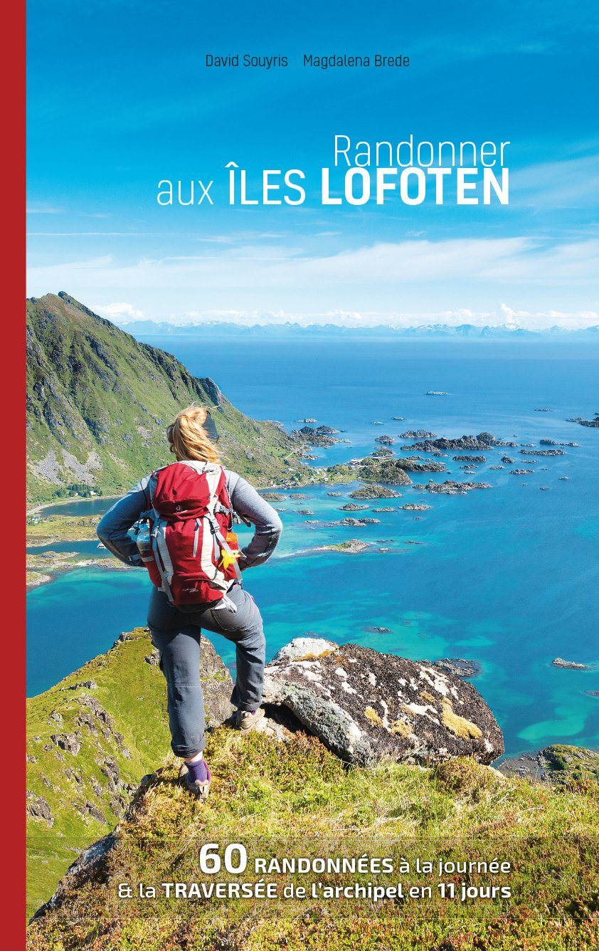
Topoguide (in English) Cicerone with detailed maps for hiking in the Zermatt area and Saas - Fee.
Description provided by the publisher:
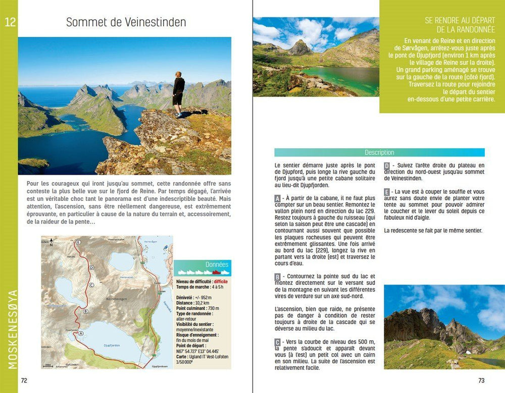
Guidebook Describing 50 Varied walks in the Valais Region in the Heart of the Swiss Alps. The Graded Day walks Based Around The Popular Resort Towns of Zermatt and Saas - Fee Explore The Mattertal and Saastal Valley and The Surrounding Mountains. Ranging from 4 to 18km, The Easily Accessible Make Use of the Area's Extensive Network of Well - Made Mountain Paths and Its Lift System. THERE ARE walks HERE TO SUD ALL TASTE, FROM LOW - LEVEL LAKE walks OR EASY STOLLS UP TO MOUNTAIN RESTAURANTS, THROUGH TO SERIOUS MOUNTAIN OUTINGS ON STEEP AND ROCKY TRAUTS. Distance, Walking Time and Difficulty ARE Shown for Each Road, and the Detailed Route Description Is Accompanied by Clear Mapping.
Dominated by 4000m The Giants, The Matterhorn and Monte Rosa, this is a land of contrasts, with snow - caped montains and glaciers above and meadows and vineyards fringing the valleys below. Good Transport Infrastructure and Platifulum Accommodation Make It A Superb Area for A Walking Holiday.
ISBN/EAN : 9781786310750
Publication date: 2021
Folded dimensions: 12 x 17cm
Language(s): English
Poids :
389 g


