ISBN/EAN : 9783763349517
Publication date: 2022
Pagination: 168 pages
Folded dimensions: 12 x 17cm
Language(s): French
Poids :
199 g
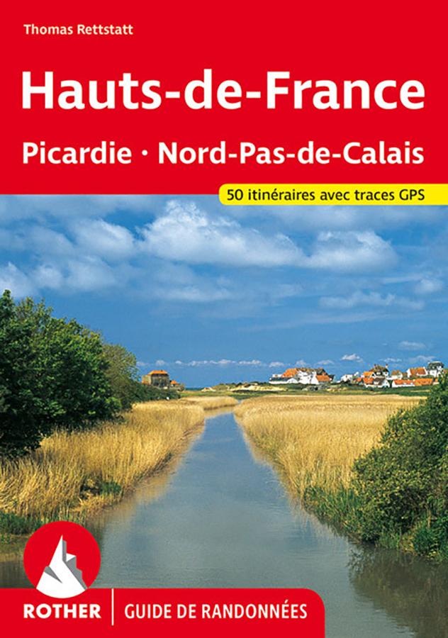
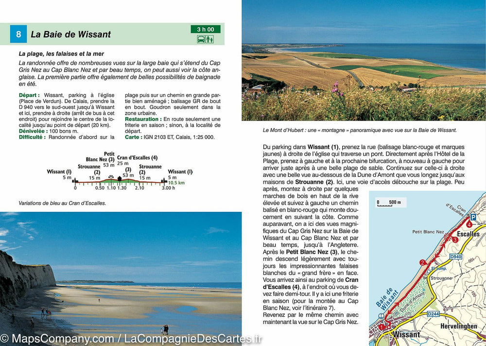
Hiking guide of Pimapy and Nord-Pas-de-Calais edited by Rother. Summary and example-type in photo. 168 pages, 109 photos in color, 50 maps at 1:25 000 / 1:50 000 / 1:75 000, 2 synoptic maps at 1: 1,500,000 / 1: 3 000000.
GPS coordinates can be downloaded from the publisher website.
Publisher Note: Hiking at Ch'tis! The north of France is a region to discover. We know at least since the success of "welcome to the Ch'tis". From Paris and Belgium, little known in general, it is a picturesque and pleasant region with its charming small towns, its half-timbered houses and tasty culinary tradition. These superb landscapes are a dream for hiker. The Rother "Pimapie" hiking guide has 50 magnificent routes.
The big forests and the three natural parks with their flat expanses and their sweet hills have a particular charm. We can do here wonderful hikes often quiet. The hikes along the coast dazzled by the steep cliffs, many beaches invite to the refreshing swim in summer. You can observe a very rich fauna and flora along the picturesque ponds and natural streams. The region has a large number of exceptional cultural monuments, famous churches, important Flemish altars and castles to visit. They are also the goal of many hikes.
Each route proposal is accompanied by a reliable description, a detailed map extract with the route of the course and an informative altitude profile. The level of difficulty represented by colors facilitates the choice of routes. Each route description is accompanied by accurate information about the difficulties, the starting point, the possibilities of restoration, the variants and more. There are also many tips on tourist sites visiting and swimming places.
More from Hauts-de-france


