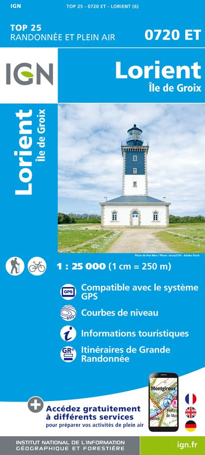
Map top 25 # 0720 ET - Lorient & Groix Island | IGN
Map top 25 # 0720 ET - Lorient & Groix Island | IGN
Regular price
$22.00
- Shipping within 24 working hours from our warehouse in France
- Delivery costs calculated instantly in the basket
- Free returns (*)
- Real-time inventory
- In stock, ready to ship
Related geographic locations and collections: Brittain hiking maps - IGN TOP 25 & SÉRIE BLEUE, Brittany, France hiking maps - IGN TOP 25 & SÉRIE BLEUE, GR34 - Tour of Brittain, Groix, Lorient, Morbihan (department 56)