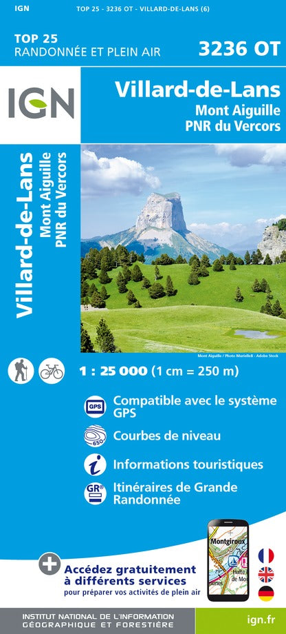
Top 25 map # 3236 OT - Villard - de - Lans & Mont Needille (Vercors PNR, Alps) | IGN
Top 25 map # 3236 OT - Villard - de - Lans & Mont Needille (Vercors PNR, Alps) | IGN
Regular price
$22.00
- Shipping within 24 working hours from our warehouse in France
- Delivery costs calculated instantly in the basket
- Free returns (*)
- Real-time inventory
- In stock, ready to ship
Related geographic locations and collections: France hiking maps - IGN TOP 25 & SÉRIE BLEUE, French Alps (all hiking), French Alps hiking maps - IGN TOP 25 & SÉRIE BLEUE, Gorges de la Bourne, Mont Aiguille, Vercors Massif, Villard-de-Lans