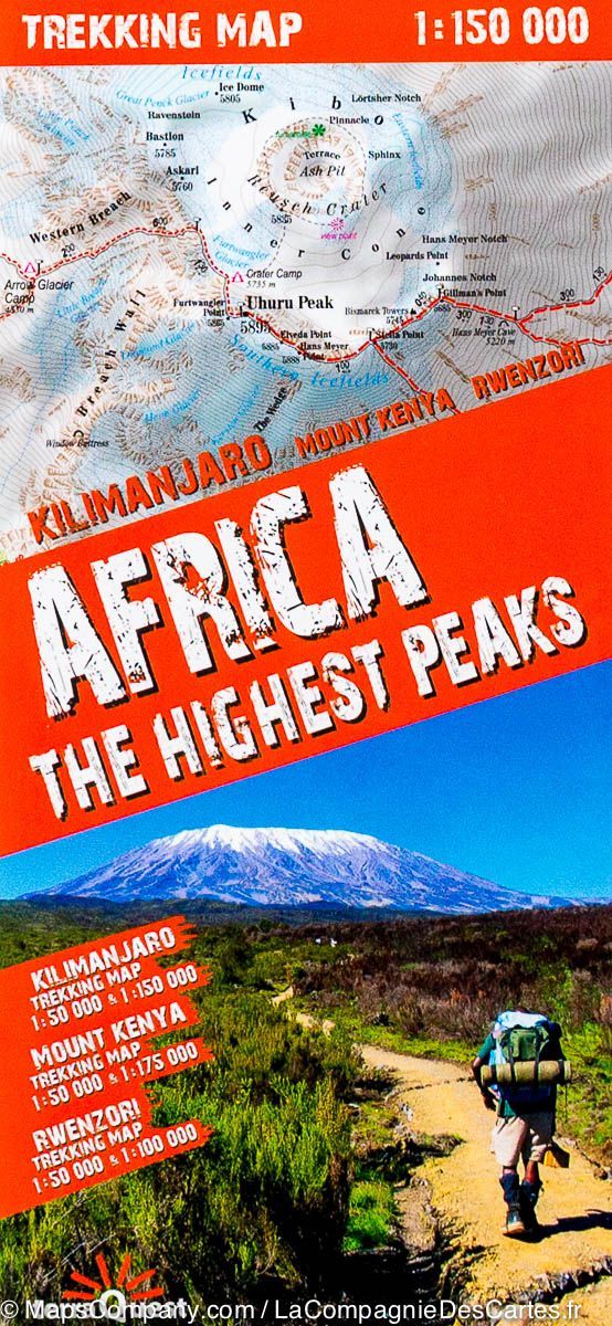
Laminated hiking map - The highest Dafarian peaks (Kilimanjaro, Mount Kenya, Rwenzori) | Terraquest
Laminated hiking map - The highest Dafarian peaks (Kilimanjaro, Mount Kenya, Rwenzori) | Terraquest
Regular price
$25.00
- Shipping within 24 working hours from our warehouse in France
- Delivery costs calculated instantly in the basket
- Free returns (*)
- Real-time inventory
- Low stock - 1 item left
Related geographic locations and collections: Africa, East Africa, Kenya, Kilimanjaro, Tanzania, Uganda