Carte de randonnée n° 1642 - Villeneuve-de-Marsan, Nogaro | IGN - Série Bleue carte pliée IGN

Hiking Map # 1642 - Villeneuve-de-Marsan, Nogaro | IGN - Blue Series

Hiking Map # 1642 - Villeneuve-de-Marsan, Nogaro | IGN - Blue Series

Regular price $21.00
/
  • Shipping within 24 working hours from our warehouse in France
  • Delivery costs calculated instantly in the basket
  • Free returns (*)
  • Real-time inventory
  • Low stock - 1 item left
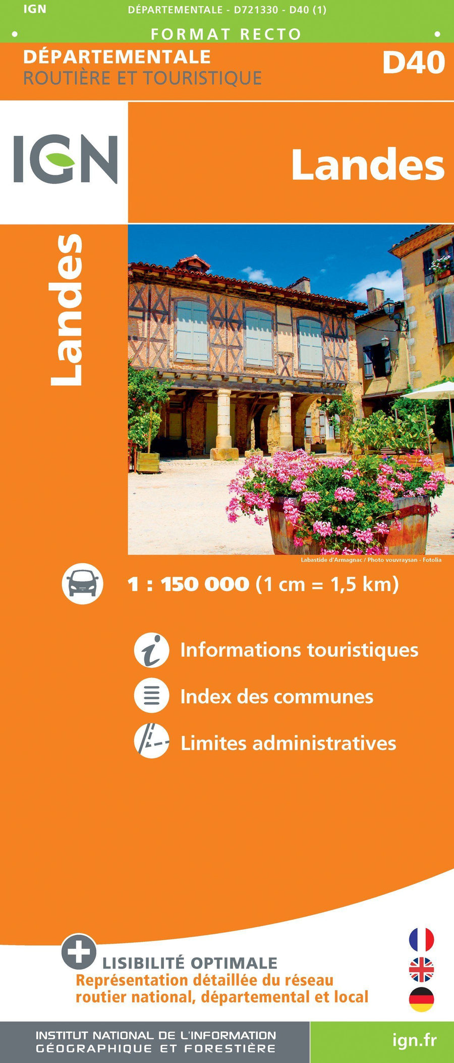
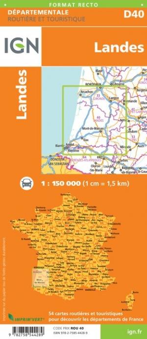
  • Backordered, shipping soon
Tax included.

The indispensable hiking map! These topographic maps of a very high accuracy contain all existing details in the field: communication pathways to the slightest path, constructions to the hangar, wood, isolated tree, river, source ... without forgetting the representation of the relief by level curves.

Covered communes: Caupenne-Armagnac, Laujuzan, Arthez-Armagnac, Le Houga, Estang, Maulon-of Armagnac, Pujo-le-Plan, The Frêche, Hintanx, Monlezun-Armagnac, Sion, Arblade-Le-High, Urgosse, Lanne-Soubiran, Renung, Luppé-Violiles, Villeneuve-de-Marsan, Lannemaignan, Cazaubon

places to discover: Lake of La Girle, Lake Uby, Castle of Ravignan, Domaine Ognoas, Castle St -Jean, Lau Castle, Cloister, Outdoor Base of the UBY Valley


ISBN/EAN : 9782758541332
Publication date: 2018
Scale: 1/25,000 (1cm=250m)
Folded dimensions: 22 x 11cm
Unfolded dimensions: 121 x 96cm
Language(s): French, English, German
Poids : 89 g

Customer Reviews

No reviews yet
0%
(0)
0%
(0)
0%
(0)
0%
(0)
0%
(0)