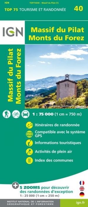
Map top 75 # 40 - Forez Mountain & Mountains Massif | IGN
Map top 75 # 40 - Forez Mountain & Mountains Massif | IGN
Regular price
$15.00
- Shipping within 24 working hours from our warehouse in France
- Delivery costs calculated instantly in the basket
- Free returns (*)
- Real-time inventory
- In stock, ready to ship
Related geographic locations and collections: Clermont-Ferrand, Forez Mountains, Massif Central, Pilat Massif