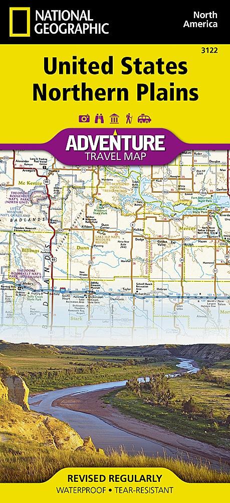
Travel Map - Northern Plains (USA) | National Geographic
Travel Map - Northern Plains (USA) | National Geographic
Regular price
$24.00
- Shipping within 24 working hours from our warehouse in France
- Delivery costs calculated instantly in the basket
- Free returns (*)
- Real-time inventory
- In stock, ready to ship
Related geographic locations and collections: Iowa, Kansas, Midwest, Minnesota, Nebraska, North Dakota, Northwest USA, South Dakota, USA