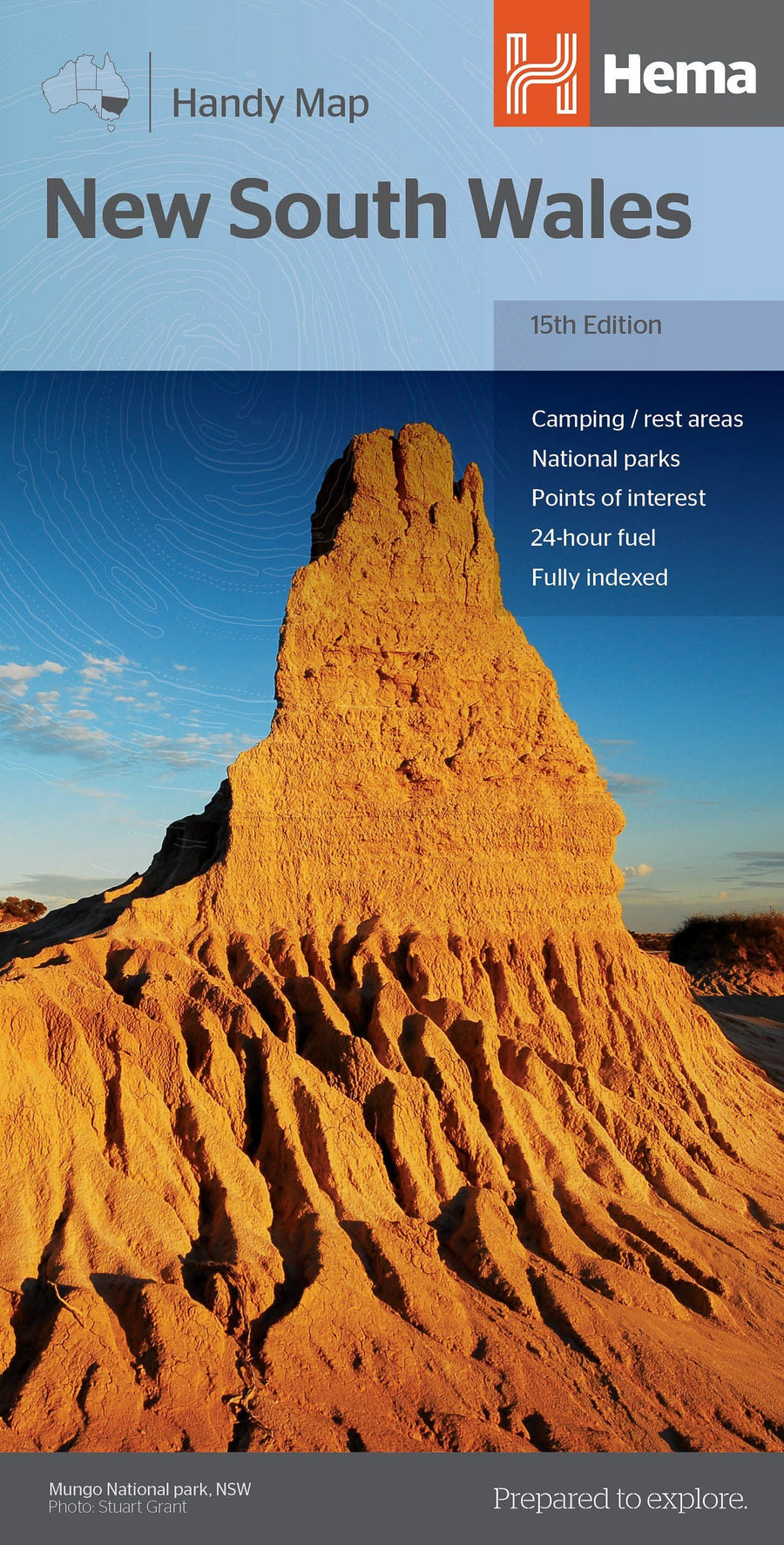
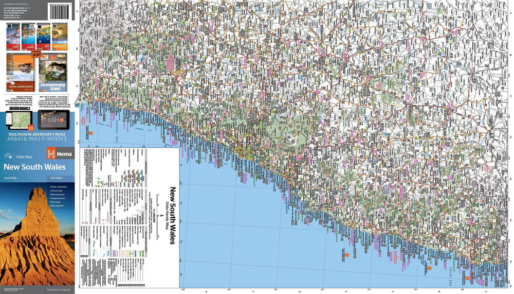
Road Map # 270 - New South Wales State & Suburban | UBD Gregory's
Road Map # 270 - New South Wales State & Suburban | UBD Gregory's
Regular price
$18.00
- Shipping within 24 working hours from our warehouse in France
- Delivery costs calculated instantly in the basket
- Free returns (*)
- Real-time inventory
- In stock, ready to ship
Related geographic locations and collections: New South Wales