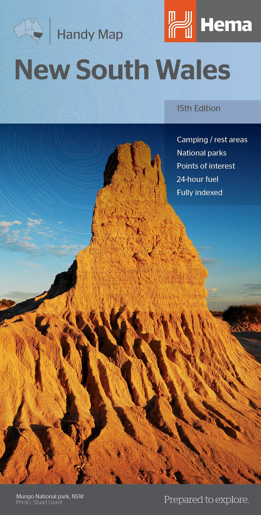
Carte routière - Nouvelle Galles du Sud (Australie) | Hema Maps carte pliée Hema Maps

Road Map - New South Wales (Australia) | Hema Maps

Road Map - New South Wales (Australia) | Hema Maps

Regular price $21.00
/
  • Shipping within 24 working hours from our warehouse in France
  • Delivery costs calculated instantly in the basket
  • Free returns (*)
  • Real-time inventory
  • In stock, ready to ship
  • Backordered, shipping soon
Tax included.

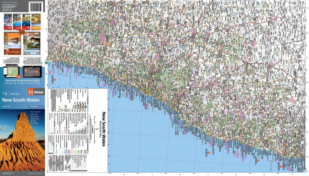
Southern New Wales Status Map 1: 1,500,000. On the map are indicated national parks, points of interest, fuel 24 hours a day and areas of camping. On the back, map of Sydney and Canberra agglomerations, as well as a regional map of Sydney, a road map of Sydney and maps of the Blue Mountains National Park and the region between Katoomba and Wentworth Falls.

• Points of interest
• Fuel 24 hours a day • National parks
• Campgrounds
• Rest areas
• Fully indexed


ISBN/EAN : 9781925625615
Publication date: 2019
Scale: 1/1,500,000 (1cm=15km)
Printed sides: both sides
Folded dimensions: 25x14cm
Unfolded dimensions: 100x70cm
Language(s): English
Poids : 82 g

Customer Reviews

No reviews yet
0%
(0)
0%
(0)
0%
(0)
0%
(0)
0%
(0)