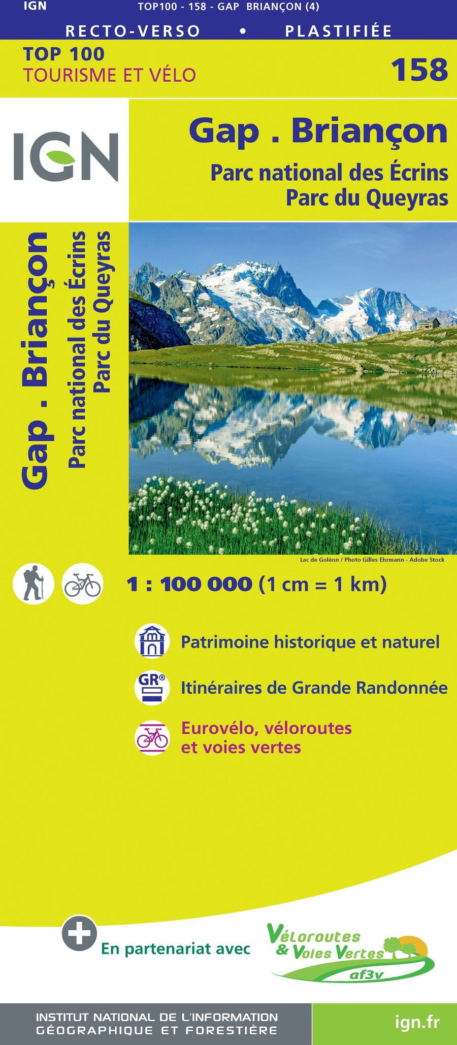
Hiking map (pocket size) of the Tour des Ecrins GR54 (Didier Richard editions).
- IGN data
- Signaling of all sports, cultural and tourist sites
- Indication of marked hiking trails
- Indication of natural resources, heritage and tourist sites
- Useful contact details.
With the Grand Tour des Écrins, find all the roaming offers offered by the Ecrins National Park. Tackle the high passes of the GR®54 or on the gentle slopes of the Balcons des Écrins, you can explore the paths of this exceptional massif at your own pace, with family or friends, over two or fifteen days...
In this map are presented and traced, all supplemented by the useful coordinates to organize your stay:
• The GR® 54 – Tour of Oisans and Écrins
In the footsteps of the pioneers, it alone leads to the foot of the mythical summits of the Southern Alps: La Meije, the barre des Écrins, Le Sirac... 190 kilometers to cover, 14 passes and 12,000 meters of elevation gain, it is a route sporty and wild. Created in 1965, it is located for the most part in the heart zone of the Ecrins National Park. It is an invitation to discover unique landscapes, exceptional and protected fauna and flora.
• The Ecrins Balconies
Intended for those who want to discover the Écrins massif at their own pace, the Balcons des Écrins will take you from valleys to villages to give you a view of the massif at your height, with the high peaks of the Écrins always in sight.
– The Gourmet Tour will take you to the heart of the Oisans massif on accessible paths so that, depending on your accommodation, you can taste a new mountain specialty every day.
5 days / 39 km / 3285 m+
– The Tour de la Bérarde will take you to the cradle of mountaineering as close as possible to the high mountains, to discover an exceptional atmosphere in an accessible way.
4 days / 39 km / 2085 m+
– The Tour du Combeynot will make you take a step back to discover the northern Écrins, and enjoy views of the most beautiful glaciers of the Écrins while discovering different mountain atmospheres.
4 days /44 km / 1815 m+
– You will discover an unparalleled Himalayan atmosphere during your Tour des Refuges in Valgaudemar. This alpine hike will take you from refuge to refuge, approaching the high mountains closely.
7 days / 61km / 4500m+
– The Pays du Tour du Vieux Chaillol GR® encircles Vieux Chaillol (3,163 m) and runs between the valleys of Champsaur and Valgaudemar. Between high passes and valleys, it offers you views of the Écrins as varied as they are impressive.
5 days / 92km / 4070m+
– The Tour du Taillefer winds its way between hamlets steeped in history and altitude passages. It offers hikers the opportunity to get to know traditional mountain life and to discover the protected species and unique landscapes of the Taillefer plateau. 7 days / 77km / 3550m+
– On the Tour du Plateau d'Emparis, we have at the bottom, the Lac du Chambon, at the top, the majestic peaks of the Écrins. Here is a beautiful hike accessible through the mountain pastures which leads to one of the most beautiful views of the Écrins glaciers.
3 days / 26km / 1500m+
ISBN/EAN : 9782344037287
Publication date: 2019
Scale: 1/50,000 (1cm=500m)
Printed sides: both sides
Folded dimensions: 7.5 x 11.5cm
Language(s): French
Poids :
50 g