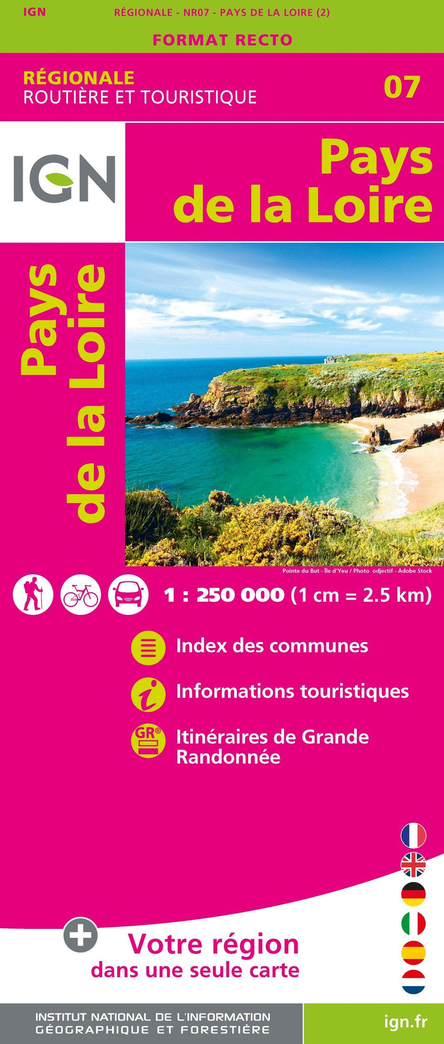
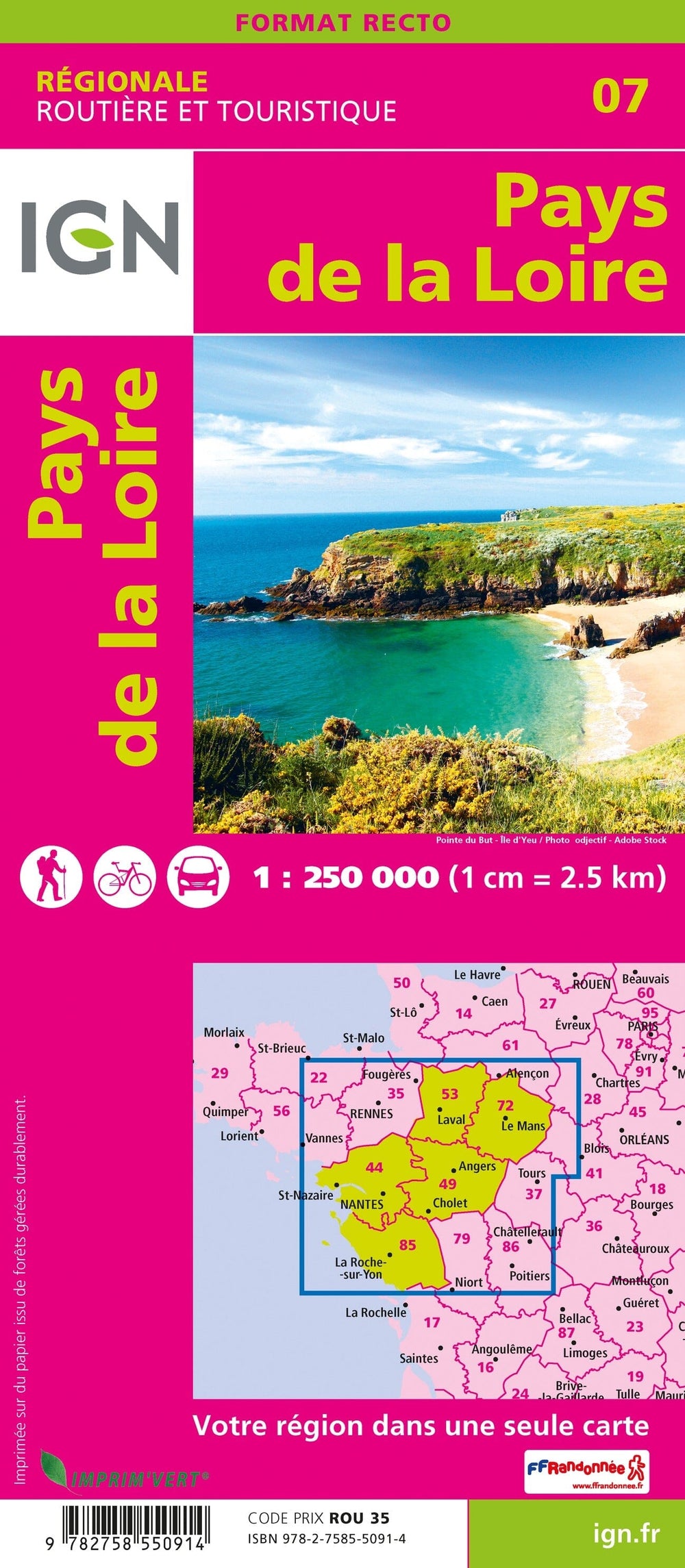
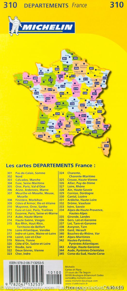
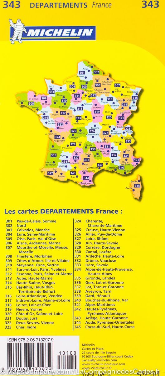
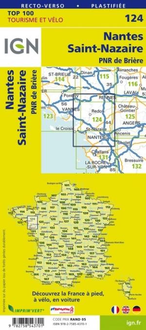
Regional Map # 7: Pays de la Loire | IGN
Regional Map # 7: Pays de la Loire | IGN
Regular price
$11.00
- Shipping within 24 working hours from our warehouse in France
- Delivery costs calculated instantly in the basket
- Free returns (*)
- Real-time inventory
- In stock, ready to ship
Related geographic locations and collections: IGN - Maps of the regions of France, Pays de la Loire