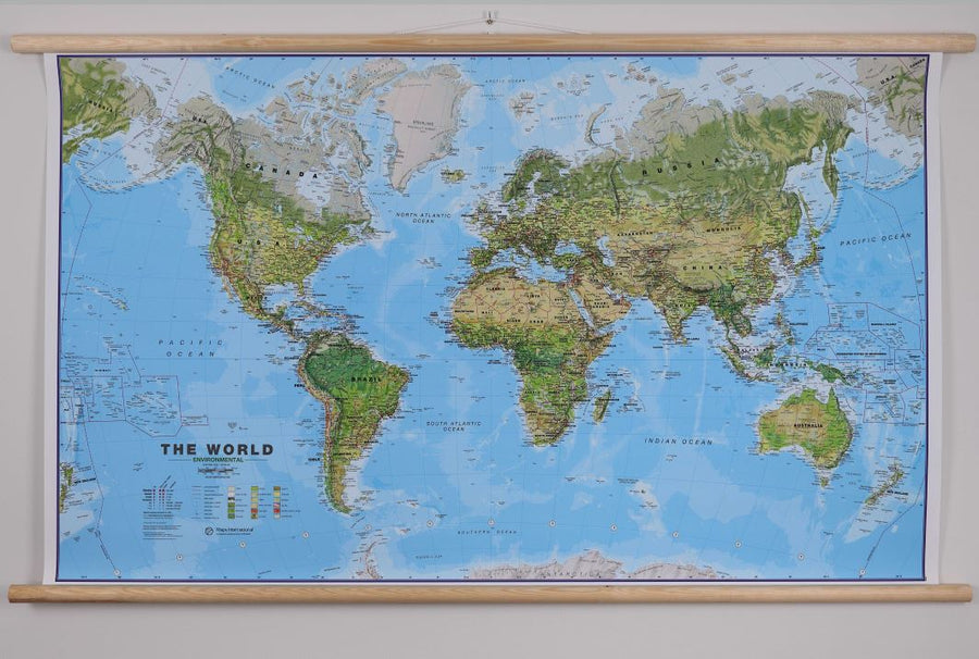
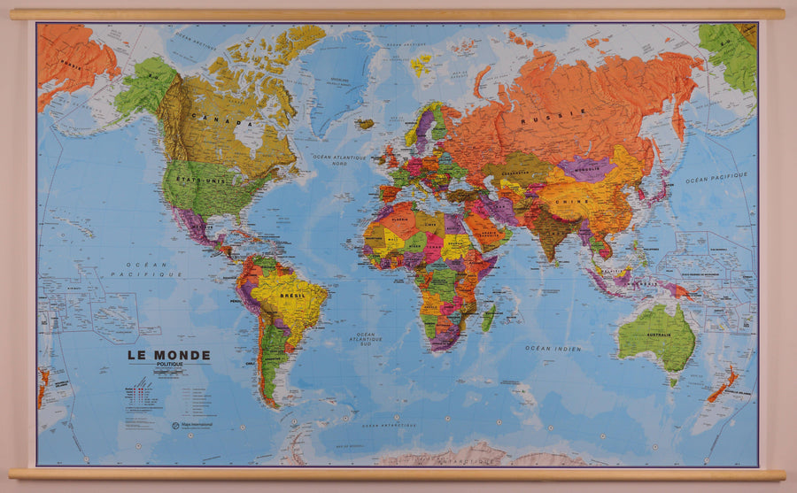
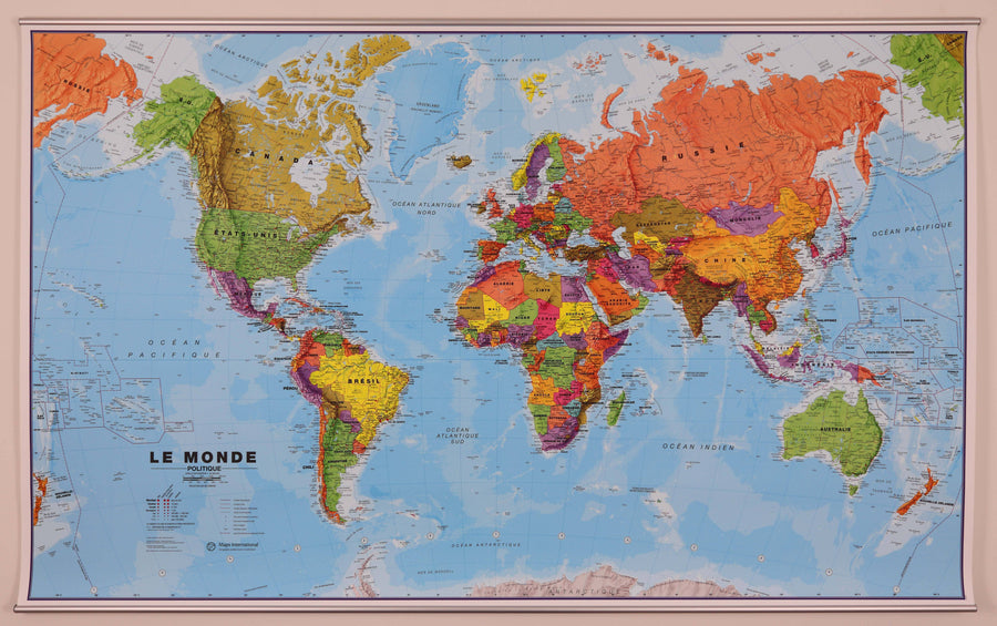
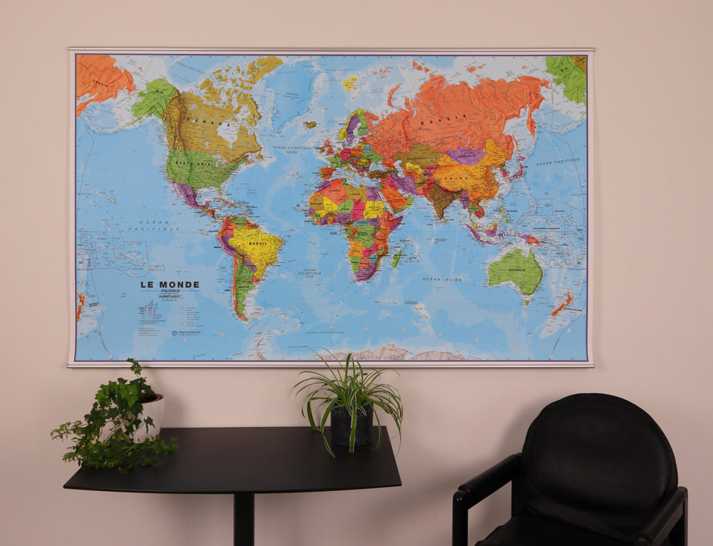
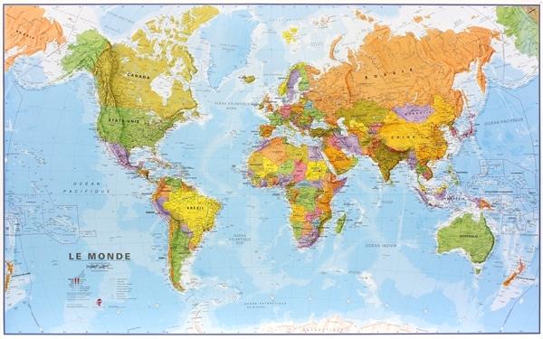
Laminated Wall Map - Environmental World - 136 x 86 cm, with wooden holding slats | Maps International
Laminated Wall Map - Environmental World - 136 x 86 cm, with wooden holding slats | Maps International
Regular price
$250.00
- Product made to order - Shipping within 7 to 10 working days from our workshop
- Delivery costs calculated instantly in the basket
Related geographic locations and collections: Medium-sized planispheres (100 to 150 cm wide), Physical planispheres / / World Wall Maps, Planispheres - Maps International, Planispheres / World Wall Maps in English, The World, Wall Maps, Wall maps with wooden or metal fixing system, World & Planispheres