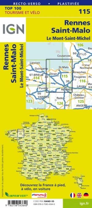
Road Map of Brittany, waterproof and resistant to tearing. The map is printed on two sides and divides Brittany is / west.
The road network is indicated on a clear basis, with a color indicating the regional parks and other protected areas. The panoramic roads are highlighted and the distances are indicated on the main and secondary roads. Railway lines and ferry links are included and local airports are indicated. Small symbols indicate the various places of interest, including campsites.
ISBN/EAN : 9783259014196
Publication date: 2023
Scale: 1/200,000 (1cm=2km)
Printed sides: front
Folded dimensions: 25x13cm
Language(s): Multilingual including French
Poids :
82 g