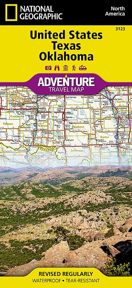
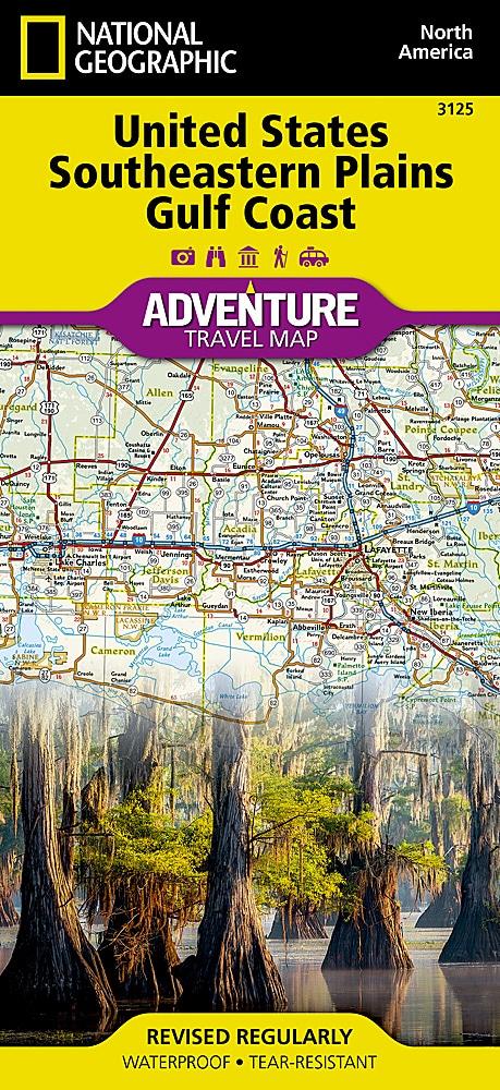
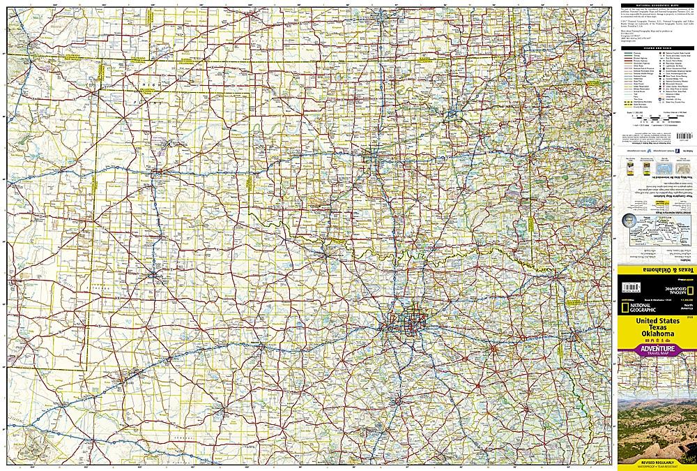
Tourist map of Texas and Oklahoma published by National Geographic. This map of Texas and Oklahoma will guide you through the vast state of Texas and Oklahoma's plains and hills. For a short time in the 1800s, Texas was an independent country that is not surprising since it is greater than France, Spain or Germany.
The map extends from the coast of the Gulf of Texas with white sand beaches, through the famous Texas Hill Country surrounding Austin and the desert landscape of Big Bend along Rio Grande to the valley of the Red river that divides Texas from Oklahoma. This map includes the cities of Houston, San Antonio, Austin, Dallas, Fort Worth, El Paso and Oklahoma City.
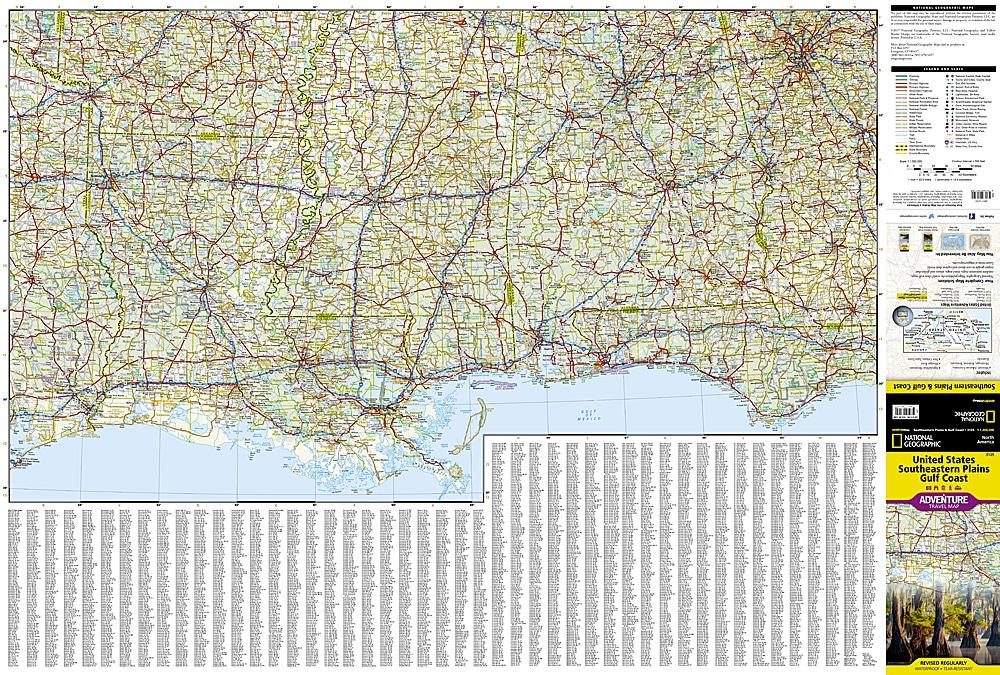
Roads, Protected Areas (National Park, Reserves ...), tourist attractions and a cities index.
Detailed waterproof and tearing resistant.
Scale 1/100,000 (1 cm = 13 km).
ISBN/EAN : 9781566957175
Publication date: 2020
Scale: 1 / 1,300,000 (1cm = 13km)
Printed sides: both sides
Folded dimensions: 23.5 x 10.7 x 0.8cm
Unfolded dimensions: 95x65cm
Language(s): English
Poids :
89 g