Southern Australia Road Map on the front and Map of Northern Territory on the back.
Southern Australia can be considered as two parts: the fertile agricultural economy surrounding Adelaide in the south and the northern part more arid. The road network in the south tends to be well developed, with paved roads going more or less east-west to the state of the new South Wales and to the state of Western Australia. Northern roads tend to be gravel or in the ground, such as the Birdville track, and the Northwest Routes tend to cross Aboriginal-ceded lands and require licenses.
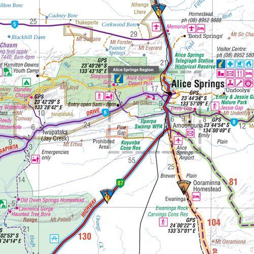
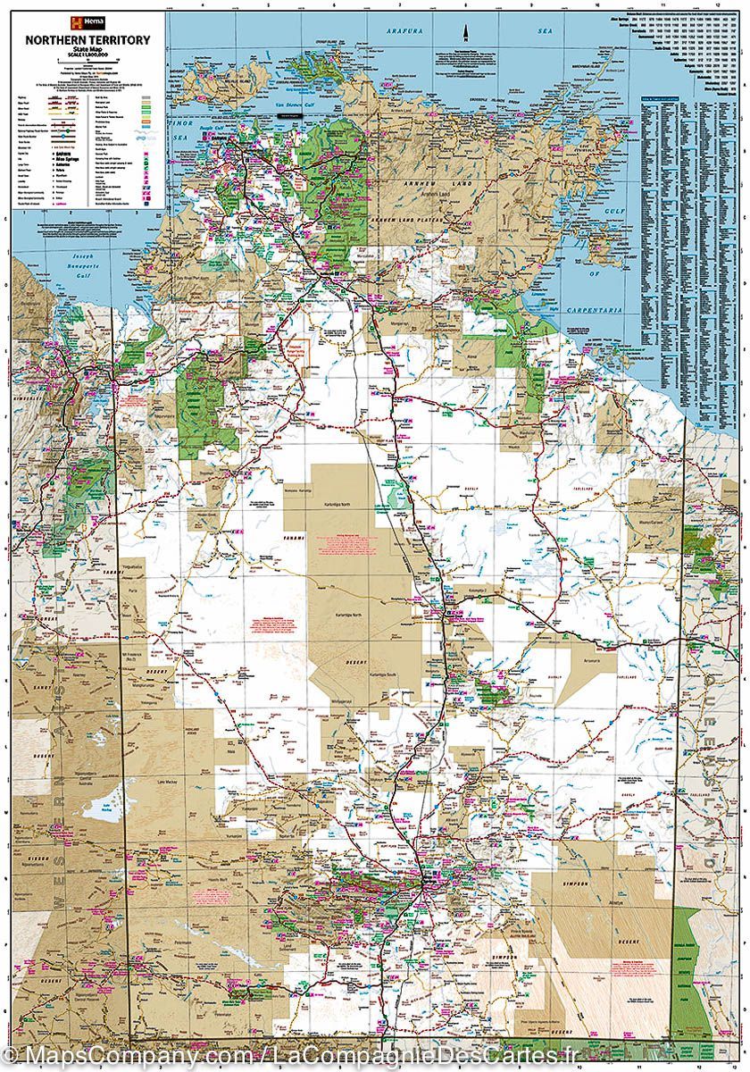
On the back, the northern territory occupies a large area. The North-South Darwin Highway in Alice Springs to the state of Southern Australia is the main road to transportation of the territory, a highway ranging from the new South Wales and a partially paved road to Queensland.
The legend includes:
roads by classification, rivers and lakes, national park, airports, points of interest, mining, highways, main roads, zoos, fishing, etc.