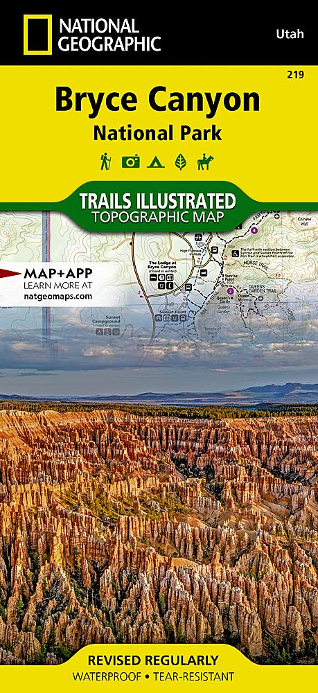
The Wind River Range of northwest Wyoming encompasses an area of more than 3,500 square miles. Locally known as just "The Winds", the range contains a unique combination of jagged granite rock, alpine forest, open meadows, over 1,300 named lakes, and the largest glacier in the American Rockies. Recreation opportunities are distributed across the landscape with hiking, camping, fishing, and snowmobiling to list just a few. The maps are centered on the Wind River Range. The glaciers and countless lakes make this map a must-have for visitors entering from Pinedale, Dubois, or Lander. The Continental Divide Trail transects this area on its way from Mexico to Canada. The Wyoming State Department of Fish and Game provides data on known fish presence for the thousands of lakes that appear on this map. Each lake with fish is highlighted to help anglers find just the right spot. Each section of trail includes mileage information to help with planning and steep sections of trail are marked s
ISBN/EAN : 9781566959049
Publication date: 2021
Folded dimensions: 9.25 inches x 4.25 inches (23 x 10 cm)
Unfolded dimensions: 25.5 inches x 37.75 inches (64 x 95 cm)
Language(s): English
Poids :
3.2 oz


![Wind River Range [Map Pack Bundle] | National Geographic carte pliée](http://mapscompany.ca/cdn/shop/products/wind-river-range-pack-de-cartes-national-geographic-carte-pliee-national-geographic-959771.jpg?v=1694456115&width=1080)
![Wind River Range [Map Pack Bundle] | National Geographic carte pliée](http://mapscompany.ca/cdn/shop/products/wind-river-range-pack-de-cartes-national-geographic-carte-pliee-national-geographic-959771.jpg?v=1694456115&width=900)