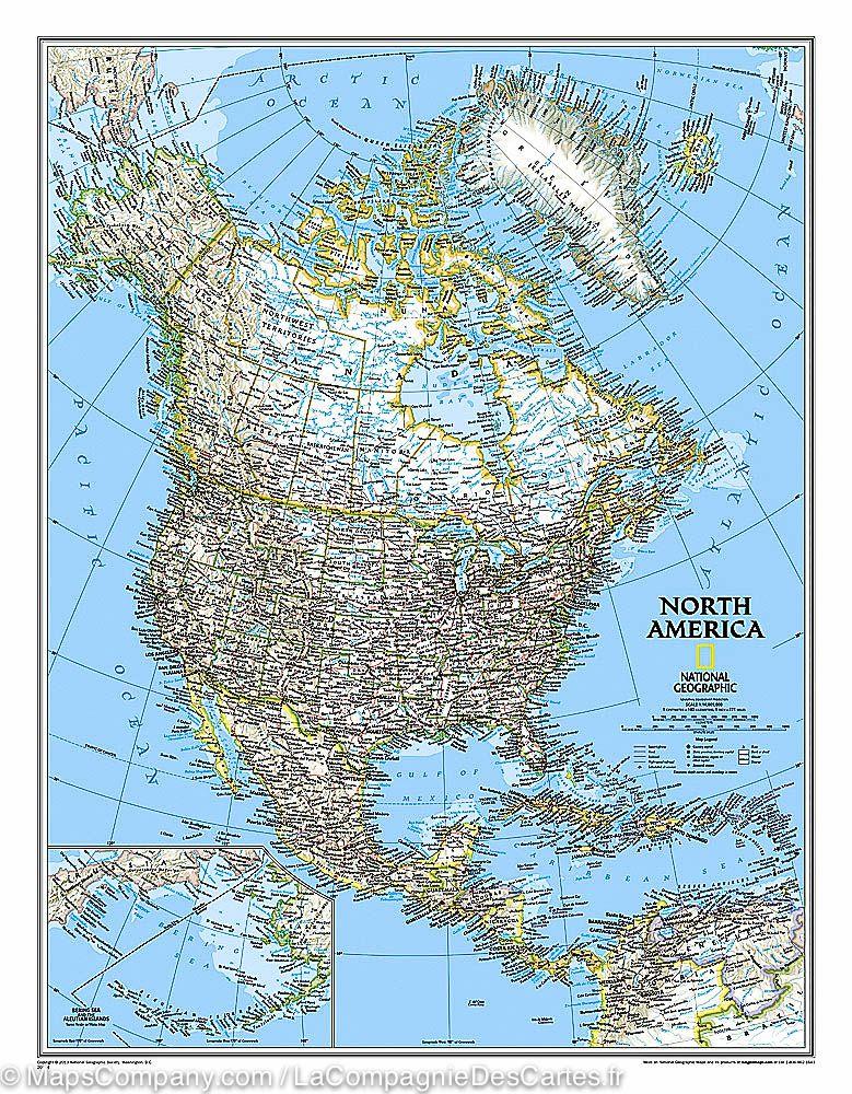
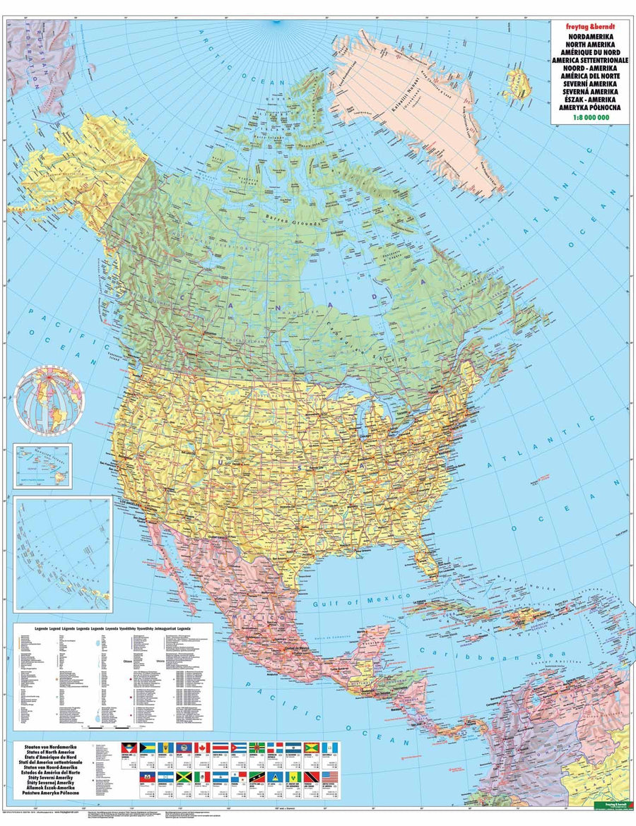
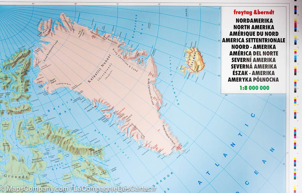
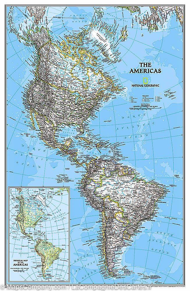
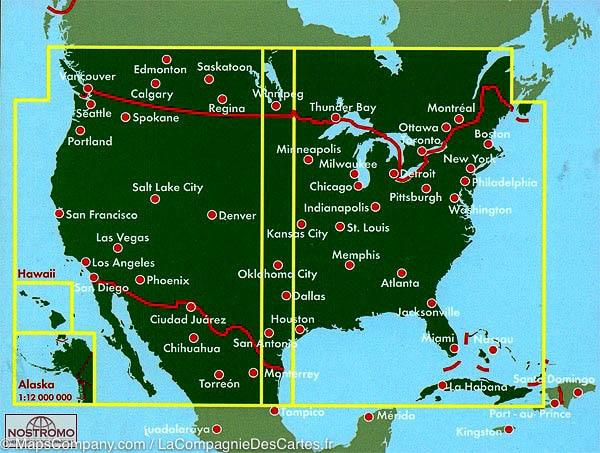
North American physical and policy map published by Freytag & Amp Berndt. In addition to the clear layout of road information, there are a lot of additional information such as information about countries, time zones, World Heritage sites and flags.
Index of cities included.
printed on a laminated thick paper.
ISBN/EAN : 9783707917611
Publication date: 2018
Scale: 1/8,000,000 (1cm=80km)
Printed sides: front
Folded dimensions: 25.5 x 13cm
Language(s): multilingual (including French)
Poids :
110 g


