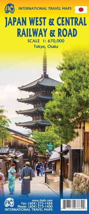
ISBN/EAN : 9781771293860
Publication date: 2018
Scale: 1/670,000 (1cm=6.7km)
Printed sides: both sides
Folded dimensions: 24.6 x 10.3 x 0.5cm
Unfolded dimensions: 100 x 69cm
Language(s): English
Poids :
55 g
This map covers the center and west of Japan. The road network is always shown in the smallest detail, but the railways connecting Tokyo to Osaka, Kyoto and Hiroshima, and the coastal cities of northern Nigata and Kanazawa are also highlighted.
The map also includes an excellent map from the center of Tokyo on one side and another of Osaka on the other.
The map extends from Fukoka to Tokyo (from West East) and Sendai to the North,
Scale 1 / 670,000 (1 cm = 6.7 km)
More from Japan


