ISBN/EAN : 9783707912906
Publication date: 2014
Scale: 1/2,000,000 (1cm=20km)
Printed sides: both sides
Folded dimensions: 26x13cm
Unfolded dimensions: 88 x 125cm
Language(s): multilingual including French
Poids :
200 g
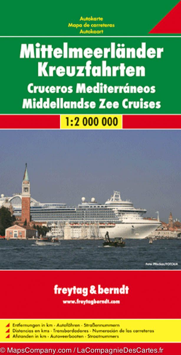
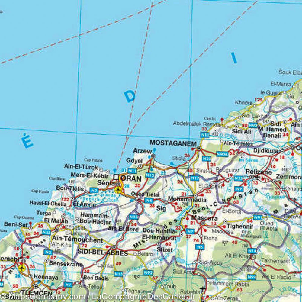
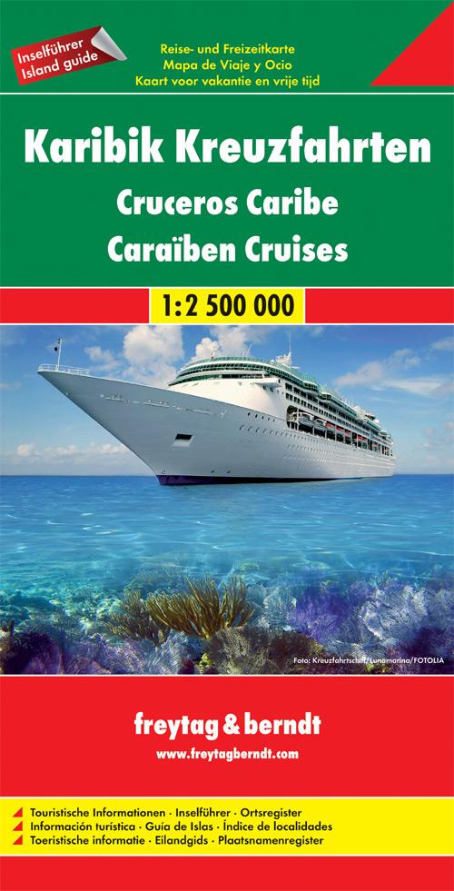
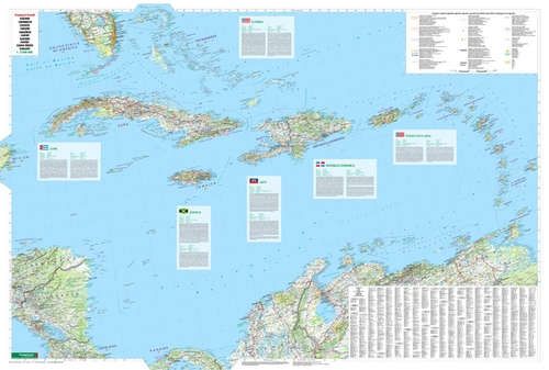
Special Cruise Map in the Mediterranean edited by freytag & amp BERDT at 1/2000,000 scale. This map covers the entire Mediterranean Sea as well as the southwestern part of the Black Sea. The main ports are highlighted and ferry itineraries are marked. Multilingual legend (French, English, German, Italian, Spanish ...).
More from Cruises


