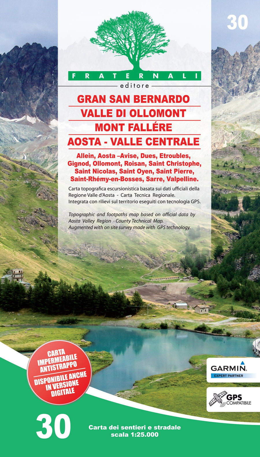
Hiking Map # 1365 - Grand St. Bernard (Switzerland) | Swisstopo - 1/25 00
Hiking Map # 1365 - Grand St. Bernard (Switzerland) | Swisstopo - 1/25 00
Regular price
$22.00
- Shipping within 24 working hours from our warehouse in France
- Delivery costs calculated instantly in the basket
- Free returns (*)
- Real-time inventory
- In stock, ready to ship
Related geographic locations and collections: Great St Bernard Pass, Hiking in Switzerland, Swisstopo - National maps of Switzerland at 1/25,000